After some balmy evening weather ended the month of August, the West Central region has been experiencing a massive swing in overnight temperatures to start September.
That trend has resulted in some troubling weather for anyone with plants or crops in the ground. Double-digit lows were a common sight through the long weekend, but as the calendar flipped, so did the script, as frost made its way into the Environment Canada forecast with lows of around 2 degrees.
After a slight reprieve, the cold weather trend will continue on Thursday night according to meteorologist Crawford Luke.
"Looks like we could be dealing with more frost the next few nights," he said, as calm winds and clear skies can combine with the low temperatures this time of year to cause the weather phenomena.
Thursday's breezy conditions should taper off into this evening, and that's when the frost comes in says Luke.
"That should give an opportunity for some calm winds and clear skies late tonight, into early tomorrow morning. That would be (Thursday's) risk of frost."
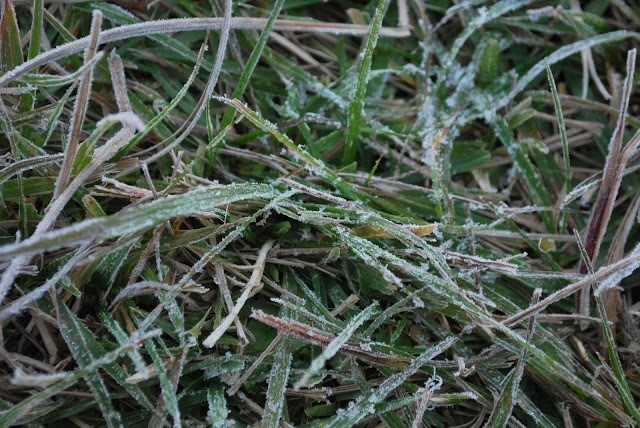
With the whole province set to get a layer of frost by Saturday morning, it might be time to break out your windshield scraper for an early season appearance says Luke.
"Looks like temperatures are a bit cooler, light winds everywhere with a lot of clear skies. Friday night is definitely looking like it could be a widespread, hard frost, the kind you might have to scrape off your car window for example."
Luke expects Sunday morning to be a potentially frosty one as well, but then after that the area should begin to warm up.
"As we get into Sunday and beyond, we get into a bit of a warming trend," shared Luke. "It looks like after that we should be clear for frost for at least a few days after that, looks like we get warm again next week... But for the next few nights... there is definitely a good chance for frost."
Even though fall weather is making an appearance, the summer doesn't officially end for a few weeks. Anyone worried about running out of summer weather can be rest assured that there is still lots of sunshine left.
"Obviously a bit of a ways out," said Luke asking readers to take his forecast with a grain of salt. "But it looks like this warm trend will just continue at this point."
Generally warmer conditions should bring seasonal highs of mid 20-degree weather and lows around 5-12 degrees, staying just above the line for frost. Luke added the fact that their forecasts are taken above ground, things likely a little cooler the three metres below, but still a good indicator of the situation.
There are only so many days left, so if you do get stuck scraping your windshield, make sure to remind yourself summer isn't over.
"Looks like there is a lot of nice days to be had. Even the next few days, after the wind dies down it looks like nicer weather, just cooler mornings.
"Definitely some nicer weather on the horizon," finished Luke.