The southeast was forecast to have a bit of dry weather this week, but now Environment and Climate Change Canada's predictions have changed to dump more moisture across the southeast.
The area is just recovering after a massive rain over the weekend, which dumped more than the monthly average in under 48 hours, and with the recent forecast, it's likely to continue dropping over the area.
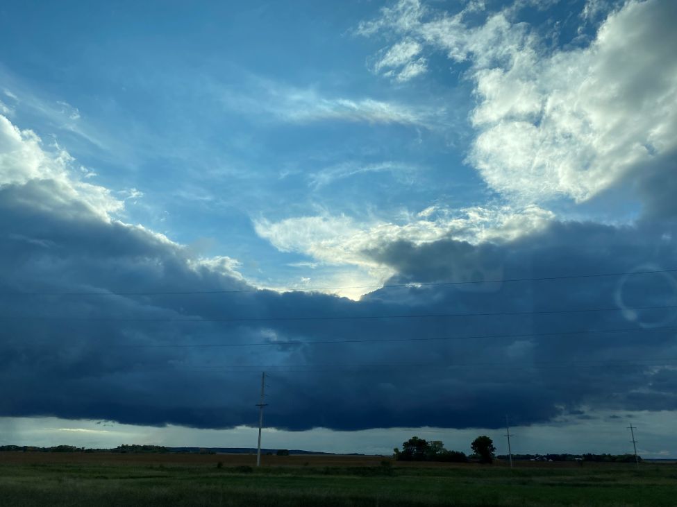
Meteorologist Crawford Luke takes a look at the storms we've got on the horizon.
"It's not necessarily dissimilar to what we saw over the weekend, where we're going to have another system later this week that's kind of just sitting in the Dakotas. So there might be some cloud and some rain on the northern periphery of that that kind of sneaks into southeast Saskatchewan."
Luke expects storms to move out of the area by Saturday or Sunday, setting up a rainy week for the southeast. The week ahead should miss out on any extreme rainfalls, though they're still a potential factor.
"I would say probably not from this. You could see some good downpours. I wouldn't be surprised if Wednesday, even Thursday, is localized. But I wouldn't be surprised if someone had like an inch of rain or something. But I don't think it would be quite the same as last Friday. I think we've lost a little bit of the moisture in the atmosphere that we had in place for that event."
While the potential for funnel clouds is dropping, the nearby North Dakota system is still conducive to those, so people will need to keep an eye on the sky.
Next week should be clearer, with Luke saying he hopes his own travel plans aren't affected by the weather.
"It just looks kind of unsettled. At least until we get to like Sunday, Monday, which I'm happy about, I'm actually coming through next week. So I'm hoping that forecast will pan out selfishly."
Estevan received over 70 millimetres of rain over the weekend, already beating the monthly average for the area.