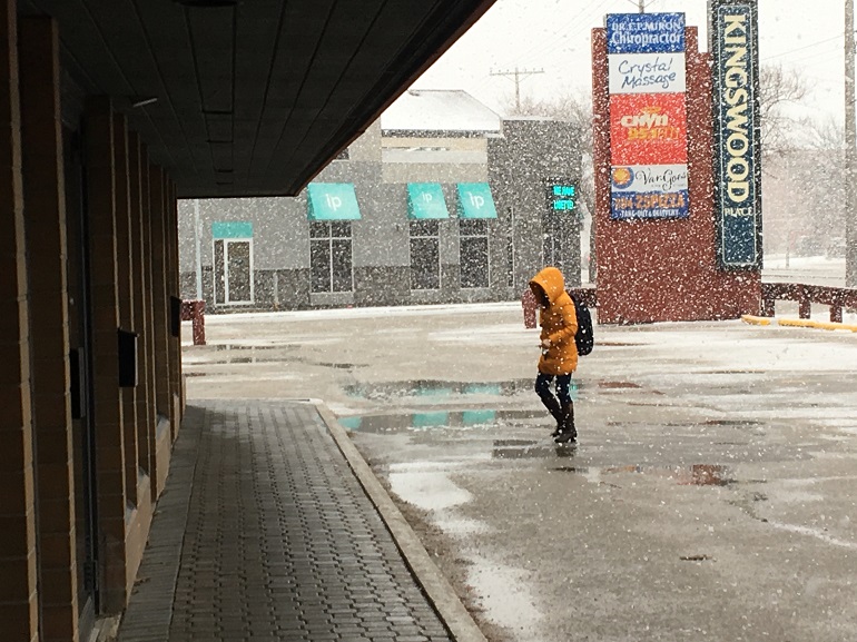
As a cold front rolls into Manitoba on Monday afternoon, northly winds could affect driving conditions with blowing snow.
"There's a low-pressure system crossing the province, and the main part of it is a cold front with much colder air coming in from the north," says Dan Fulton, a meteorologist with Environment Canada (EC). "There's snow in the wake of that cold front."
Central Manitoba, just north of Winnipeg, is expected to see about 10 cm of snow throughout Monday.
"For Winnipeg, it won't be quite so much. It looks like the front comes here around noon. We'll probably get a couple of centimeters of snow, but quite strong northerly winds."
Winnipeg is expected to get about two centimeters of snow with a small chance of freezing rain mixed it. The winds coming from the north will gust between 50 and 70 km/h this afternoon.
"Temperatures will be falling throughout the day, especially in the afternoon. It'll get down to minus 11 in the afternoon. It's starting off a nice day, but it'll end up not so pleasant."
The snow and high winds are expected to die down around midnight, but the overnight low into Tuesday is minus 20 with a wind chill of minus 27.
"It looks like temperatures rebound after this comes through. We're looking at highs in the mid-single digits for much of the week. As we get towards the end of the week, it looks like another system coming. There's lots of uncertainty with this. There will be heavy snow somewhere."