That warm weather we have been feeling recently in the foothills isn't sticking around.
According to Environment Canada Meteorologist, Stephen Berg, there will be some cooler temperatures moving in later this week.
"On Thursday, there's an Alberta Clipper that develops over Southern Alberta, and that quickly skirts Eastward into Saskatchewan," Berg explains. "On the backend, though, there'll be some northerly winds that will be bringing some cooler air into the region."
Those northerly winds will cause the temperatures to drop down to about -5 degrees on Friday, with the overnight lows being a bit below normal for this time of year.
"There'll be a couple days of cooler conditions before temperatures rebound by Sunday. It looks like back to plus temperatures."
Berg says that there is also the possibility that more snow may fall before it begins to warm up again on Sunday.
The Alberta Clipper is a low-pressure system that develops off the Rockies, which then moves rapidly from west to east, bringing strong winds and colder temperatures.
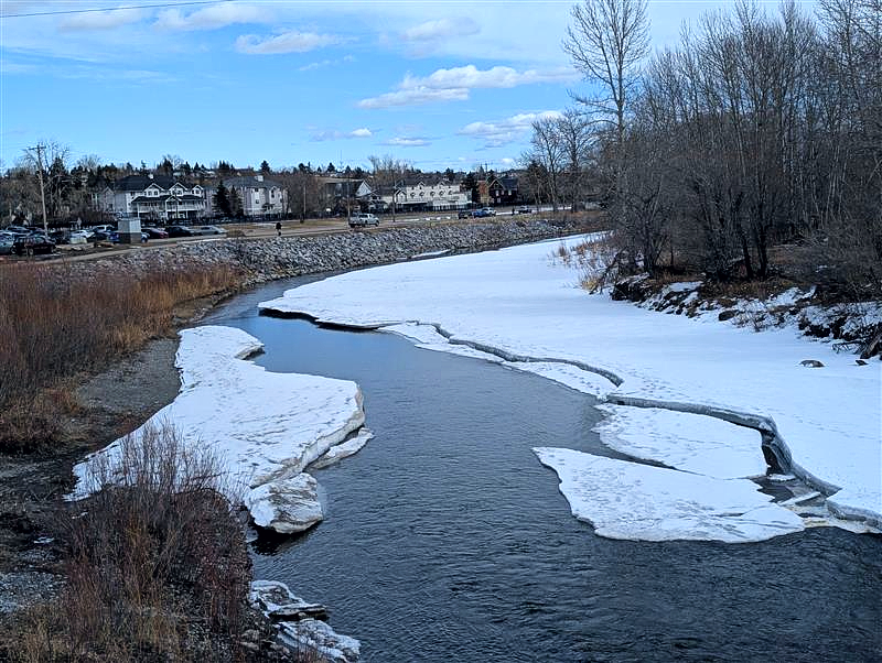
If it does snow, Berg is reminding people to be careful, because visibility might be reduced due to blowing snow, and the snow might be covering some ice that could cause some issue.
"It looks like by Sunday, things will get closer to normal. Temperatures back up above zero, it looks like, and overnight lows in the mid-single digit minuses. So, that's approximately normal, just maybe a sliver warmer than normal on the overnight lows, and maybe the daytimes highs as well," Berg says.
He added that it should begin to warm up again by mid-next week.
To stay up to date on the weather, head over to our weather page.