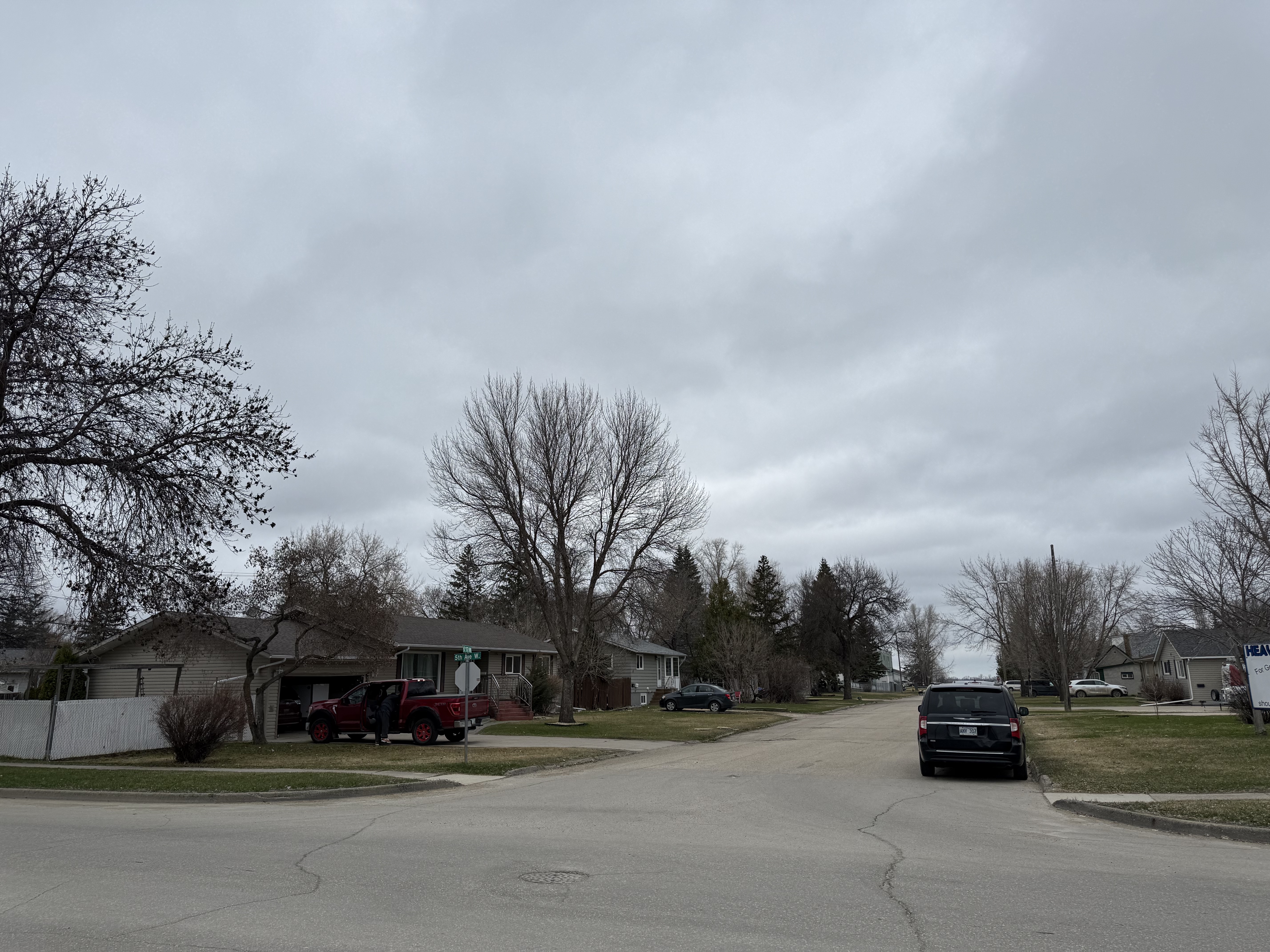
When conversation lulls, they often turn to the weather forecast, and these days, the forecast looks far more pleasant than in the past months.
Meteorologist Stephen Berg with Environment and Climate Change Canada says things are still supposed to stay fairly warm over the coming days, but might hit some temperatures lower than our seasonal norms.
"There's a bit of a change with the temperatures coming towards the end of the week, with that short cooldown. It's kind of related to another Colorado low that comes up from the southwest towards northwestern Ontario, but also combined with a bit of a cold front that comes through given the colder temperatures from kind of Sunday night into Tuesday night," Berg continues. "It looks like there's a sliver of a chance there might be some the odd snowflake Monday night into Tuesday morning, but beyond that it looks pretty decent Wednesday onwards. There might also be some wind gusts up to about 70 kilometers per hour Monday afternoon into evening."
The brief cool period shouldn't last long though, according to Berg, who suggests that temperatures could be higher than we might have expected.
"It looks to be somewhat above normal for after this little cooldown for the next couple of weeks or so. We might have the odd day or two that'll be a bit below with certain weather patterns, low pressure systems that impact the area. But largely it looks to be normal to above normal for temperatures and. It might be a little bit on the wet side on Wednesday too, but apart from that, pretty smooth sailing."
With the warmer temperature that are expected, Berg suggests taking advantage of it by getting outdoors if you can.
