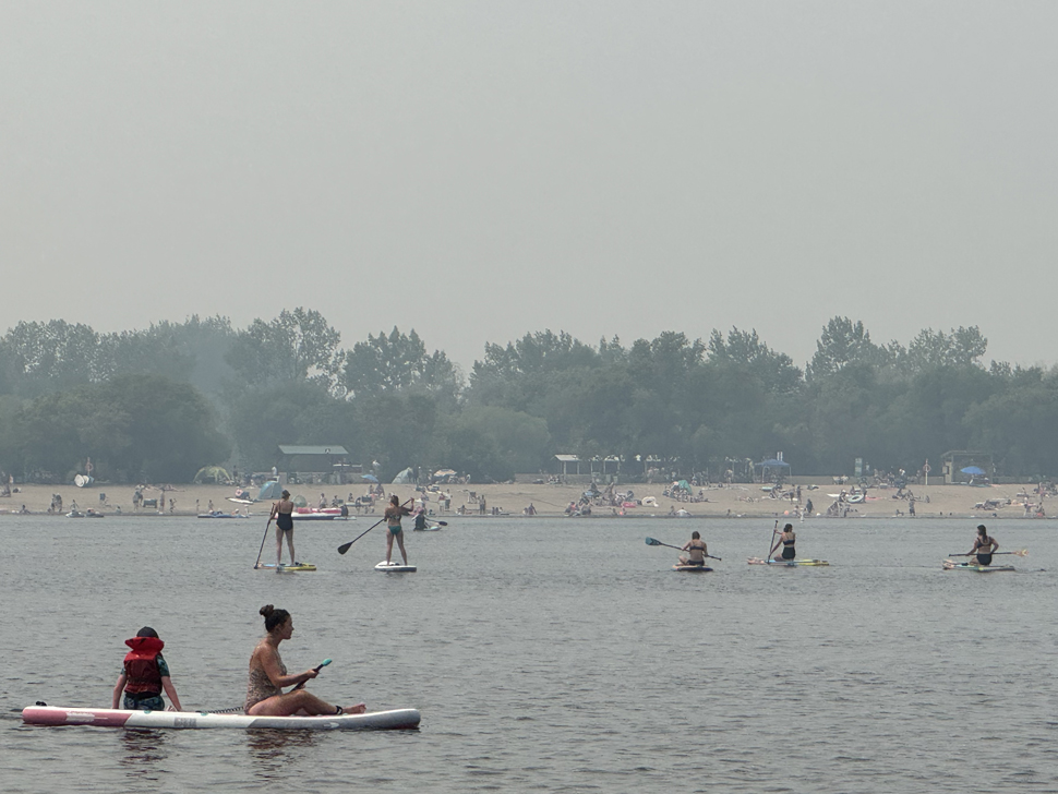
Environment Canada meteorologist Crawford Luke says wildfire smoke can definitely have an impact on the development of thunderstorms — especially when it blocks out sunlight and prevents surface temperatures from hitting key thresholds.
“For not all thunderstorms, but a lot of them, when we’re forecasting, we expect them to form once the temperature hits a certain value,” Luke says. “When the smoke is thicker, we know it can block out some of the sunlight and prevent the heat from getting in.”
He explains that when that heating is limited, it can hold back the kind of convective activity needed for storms to build.
“If the forecast calls for a convective temperature of 22°C and smoke keeps the high at 18 or 19, then that could prevent the thunderstorm,” Luke notes.
Surface heat and cold upper air help fuel strong storms
When it comes to how temperature plays into storm severity, Luke says there isn’t a one-size-fits-all number. It’s all about how conditions line up through different layers of the atmosphere.
“We would want it to be really hot at the surface, but also colder higher up,” he says. “That tends to be when we get our biggest storms.”
He adds that wind shear — the change in wind direction and speed at different altitudes — is another major factor and can affect storm intensity independently of heat.
Overnight rain likely just a Manitoba pattern
While it may seem like Steinbach has seen more rain at night lately, Luke says that’s likely just part of a broader trend across the province.
“That seems to be something that happens a lot with Manitoba, where storms form in Saskatchewan and then come over Manitoba in the night,” he adds. “I don’t think there’s really anything more to it.”
