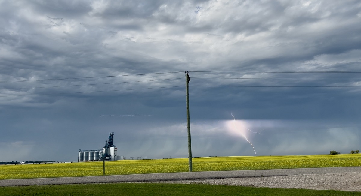
After the eastern portion of the area, near the U.S. border, missed accumulating rainfall on Sunday, that wasn't the case on Monday when a second system essentially moved west to east along the international border bringing a round of precipitation starting in the morning and lasting into the afternoon before exiting the area.
"Sunday's system travelled from the southwest to the northeast, and brought rain to an area from Morden to Carman (received 16.6mm) to Winnipeg, and then west and north of that," explained CMOS Accredited Weathercaster Chris Sumner. "For example, our Rainwatcher Allan in Morden reported 6.7mm within the city on Sunday, where Winkler essentially received no measurable rainfall, and the same for Altona and eastward along the border."
Find the latest Petro Canada Winkler forecast, here
Sumner went on to say Monday's system took more of a "straight-line" approach as it crossed the region, leading to pretty much all points in the Pembina and Red River Valleys receiving something in their respective rain gauges.
The following totals are for Monday, July 28th and are courtesy PembinaValleyOnline Rainwatchers and the Manitoba Ag Weather Network:
Rosenfeld - 11.1mm
Plum Coulee - 9.4mm
Windygates - 9.3mm (almost 4/10)
Winkler (south of City) - 9.2mm
Reinland - 9.0mm
Gretna 6.5mm
Morden (in City) - 6.3mm
Manitou - 6.2mm
Clearwater - 5.7mm
Altona - 4.6mm
Jordan - 4.5mm
Kane - 4.1mm
Morris - 3.0mm
Dominion City - 2.6mm (just over 1/10)
Carman - 1.2mm
25mm = 1 inch
According to Sumner, after a hot and very humid weekend across Southern Manitoba, a cold front moved through the region yesterday, and that will bring an end to the muggy conditions for a few days and also have temperatures land around seasonal today through the end of the week, ranging from 24 to 27. Average daytime highs for the end of July are 27 degrees, with overnight lows of 13 degrees.
"Surface high pressure will be the dominant weathermaker over the eastern Prairies for the next several days, with lots of sunshine and relatively light winds," he added. "Unfortunately, that is also setting the stage for several smoky days as atmospheric winds shift northerly and push wildfire smoke southward. Air Quality Warnings were issued Monday afternoon by Environment Canada, and it's likely Warning or Air Quality Statement level impacts will be present for the next few days."