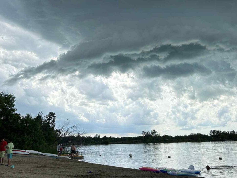
On Wednesday, parts of southern Manitoba, including sections of Winnipeg, were pounded with rain and strong winds, and the area could see similar weather on Friday.
On top of the thunderstorms on Aug. 6 that brought rain, there were multiple tornado warnings that went out to people's smartphones around 5:30 p.m.
"We saw lots of pictures of funnel clouds, but we didn't have confirmation of it touching down," says Robyn Dyck, a meteorologist with Environment and Climate Change Canada (EC).
Mostly south of Winnipeg, around Niverville, Blumenort, and Steinbach, got some intense rainfall. But the area that got the heaviest rain was north of Winnipeg.
"It looks like the most rain was Stonewall with 33 mm. Selkirk got 27-ish. Those were the highest numbers."
Thursday in southern Manitoba will be mostly sunny with a high of 29 degrees with a humidex of 34 in Winnipeg.
"We have a 60 per cent chance of precipitation for Friday," says Dyck. "Just because of the nature of thunderstorms are quite small in scale, our forecasts cover large regions, so if you get hit by a thunderstorm, you could get anywhere between 20 and 40 mm. Where the thunderstorms are going to exactly develop, it's quite hard to track and then forecast."
Dyck says people should monitor the weather throughout the day on Friday and take cover in severe thunderstorm warnings and watches pop up.
