Harvest is just a couple of weeks away and the daily rains are becoming concerning for some grain farmers in the Westman Region. Just when we think we've got a hot, sunny day a passing showers dampens the ground once again.
WADO's Applied Research Specialist with Manitoba Agriculture, Scott Chalmers, say out their way in Melita they've received about 5 inches of rain over the past 10 days. He says in most areas rain gauges are seeing 1.5 to 2.5 inches of rain. Around the Deloraine-Waskada area a bit more.
"But that's still a lot of water this time of year. And you know, for some, I think east of Boissevain, I heard 5 inches in one single dose and that came with a little bit of hail too, I believe. So those are the storms that you really don't want because you know a lot of that water pools up - and hail is never a welcome thing."
Last week Friday, Ninga rain watchers saw 77 mm of rain in just a short period of time. Kola saw just of 30 mm a few days later.
However, for the most part in the southwest corner of the province, Chalmers says they've received all that rain in small doses, "you know, half inch over each day for about four or five days. So that wasn't too bad and we were able to kind of soak it up. But what's kind of odd is we actually ducked under normal crop heat units, so we're down to 91% of normal."
"It's been a little cool," he adds. "I think it's because of the storms and possibly the smoke and you know, maybe things are kind of slow that way. Normally we would have had our peas done by now, but we have to wait till next week so they kind of dry down."
Where we were lacking in rainfall in June, Chalmers says we're back up to 95% of normal rainfall, only because July and the start of August have been way above normal.
"Normal for July is 58 millimeters. We've received 105 here at Melitta. And then for August, 48 is normal for the area and that's a 30 year normal. And just for the start of August, we've already passed that at 58 millimeters," he explains. "We still have the other half of the month to go and I wouldn't be surprised if farmers are a little nervous getting those low spots wet when they really want to get in there with the combine."
Looking ahead, the forecast does show warmer temperatures are coming back but with the extra moisture in the ground the conditions will resemble more humid-tropical, than hot-dry.
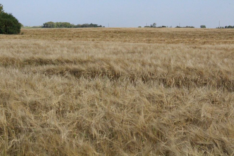
"It's going to actually be quite humid, but you know, that sunshine really helps. And we have a lot of crop that's kind of laying down lodged from all the rain and wind. Getting some hot days would be great to kind of bring that crop in alongside."
![]()
He says long-term forecasts are suggesting La Nina is shifting back our way, which means things will dry out a bit more.
" I see a potential hurricane coming into Florida or Virginia. And it seems like often when they get hurricanes, it really dries out here. So I'm hoping for those things do actually kind of help us out. They might not be great for others, but it might help us," adds Chalmers.
On the other hand, with the large rainfall amounts for some of the late crops, it's actually a great thing, says Chalmers.
"So like soybean or corn or sunflowers, they'll be just soaking this up, you know, as long as they're not sitting in water, of course. But we could be shooting for very high yields here. I was just in our soybean plots and the beans are already waist high on me. I don't know if that's really ever happened at WADO. Last year we had a great year, but this could really surpass things if it keeps it up, we just need a bit of heat to push it along," he adds.
