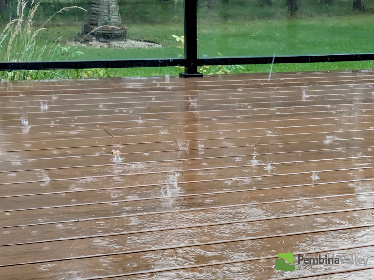
The first widespread rainfall in several weeks dropped a swath of accumulating precipitation over Southern Manitoba Thursday.
"This particular low-pressure system descended out of Saskatchewan, and then moved northwesterly to southeasterly across Southern Manitoba," explained CMOS Accredited Weathercaster Chris Sumner. "The low was kind of 'clipper-like', due to where it originated from, that fact it was a fairly quick mover and behind it gusty northwesterly winds have developed. Based on the totals coming in this morning, it appears the area of heaviest precipitation was south of Highway 2, west of the Red River and east Highway 34. "
For the latest Petro Canada Winkler forecast details, click here.
Sumner added, after the substantial drop in temperatures post September Long Weekend, the addition of the rainy conditions Thursday only added to the Fall-like feel of Back to School week.
The following are totals for Thursday, September 5th and are courtesy PembinaValleyOnline Rainwatchers and the Manitoba Ag Weather Network.
Winkler (in city) - 22mm (about 9/10)
Morden - 20mm (8/10)
Plum Coulee - 20mm
Rosenfeld - 20mm
Reinland - 20mm
Altona - 19mm
Woodmore - 19mm
Winkler (south of city) - 18.1mm
Gretna- 18mm
Morden (two miles south) - 17.5mm
Carman - 17.3mm (about 7/10)
Jordan - 16.9mm
Kane - 16.6mm
Manitou - 15.6mm
Elm Creek - 13.5mm
Morris - 12.6mm (1/2 inch)
Dominion City - 12.3mm
Clearwater - 8.9mm
Steinbach - 5.2mm (2/10)
25mm = 1 inch
Cool temps continue, but warmer weather next week
The below average start to the month will continue through the weekend, but according to Sumner by Sunday we should be much closer to seasonal than we have been for the first several days of September. Average daytime highs right now are 21 degrees, with overnight lows of 8 degrees.
"An upper level low centred of James Bay is responsible for Friday's breezy and mainly cloudy conditions," he said. "Behind it, surface high pressure will build over the eastern Prairies Saturday and Sunday, meaning a return to a sunnier sky and temperatures warming back up as we see surface winds shift to southerly on Sunday and for the start of next week. Alongside that, upper level ridging will return over the region, allowing for a warmer airmass to settle in, with the long range forecast models indicating little chance of rain for the first half of next week, with daytime highs in the low 20s."