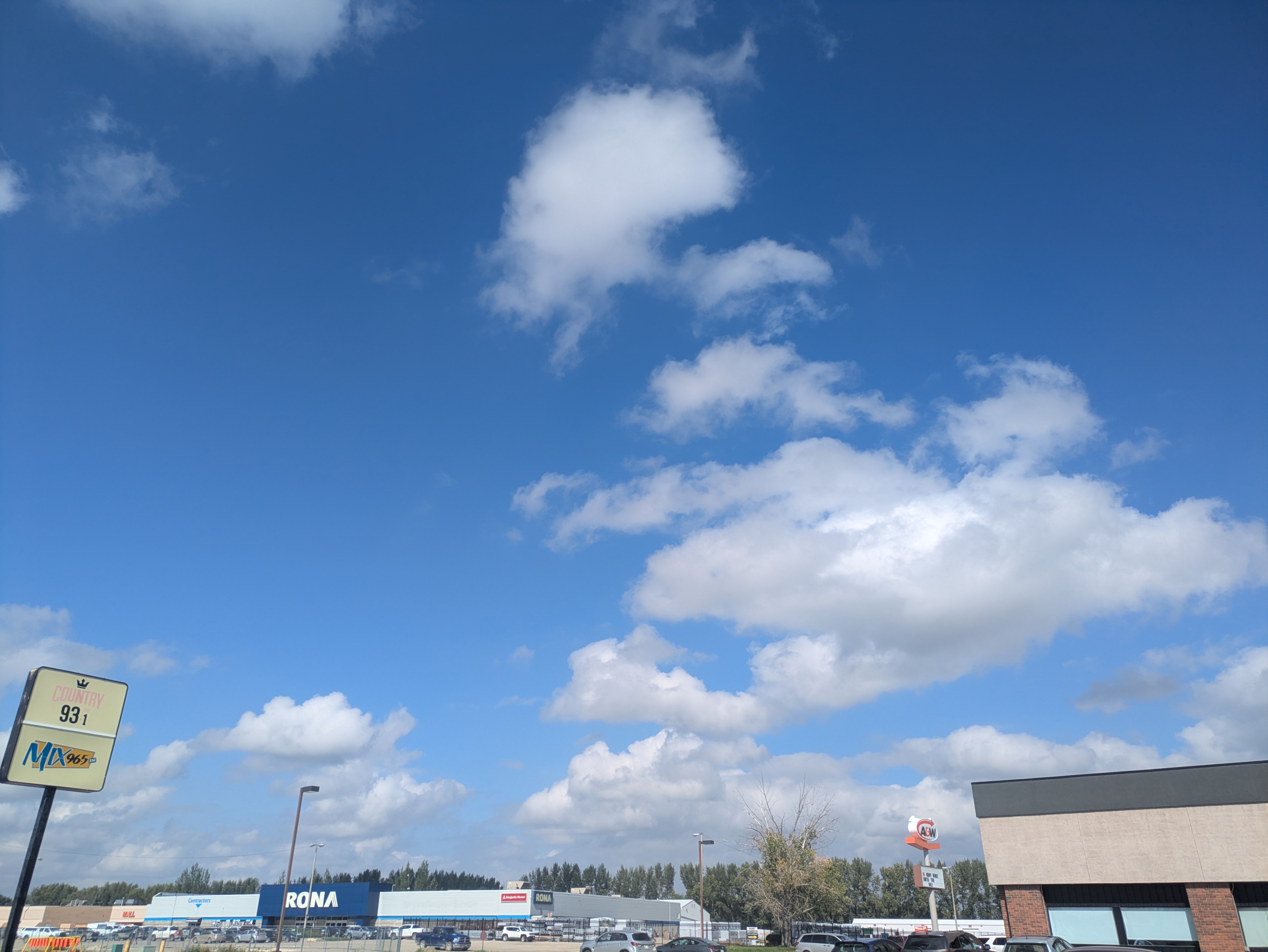
Christy Climenhaga, a scientist with Environment and Climate Change Canada, explains that southern Manitoba faces a heightened risk of thunderstorms over the next day. Moisture is pooling across the region, with fog showing up in the southeastern prairies. She says Portage la Prairie sits on the edge of conditions favourable for severe weather, which could include slow-moving systems with hail, downpours, and strong winds.
Climenhaga notes that there is even a chance of funnel clouds in the province’s extreme southwest. While models suggest the potential for more thunderstorms tomorrow, she says forecasts are less certain as the week goes on. Cloud cover and occasional showers are possible, but any heavier rainfall will likely depend on a system to the south.
“Unsettled conditions and the risk of some thunderstorm activity look to continue through today and into tomorrow,” says Climenhaga.
September storms and unusual moisture
She explains that while September storms are not unusual, this year is marked by unusually high dew points. That extra moisture has supported slower-moving thunderstorms that drop large amounts of rain.
Climenhaga adds that an upper ridge has been pushing moisture farther north than normal for this time of year, contributing to the sticky feeling residents have been experiencing.
“What we’re seeing now that is a little bit more uncommon is just the amount of moisture we have in the area,” adds Climenhaga.
Looking to the weekend
Temperatures are forecast to stay above seasonal through the weekend, with normal highs near 18 C but readings likely pushing into the low 20s. She explains that cloud cover later this week may temporarily bring temperatures back to average, but overall the warmth should linger into Sunday.
“It looks fairly dry at this point,” says Climenhaga. “Still a ways out so things can change, but it does look a little drier through the weekend.”
Mosquitoes and frost outlook
Climenhaga continues that while many residents may be hoping for frost (the one time when people might appreciate it) to reduce mosquito populations, it is not on the immediate horizon. Overnight lows in the Portage area are expected to cool, but not enough to reach freezing.
“It doesn’t look to be in a frost realm of temperatures,” notes Climenhaga.
Final advice
Climenhaga reminds residents to remain alert to severe weather risks even though fall has officially arrived.
“As we do head into another evening of potentially severe weather, make sure that, even though we are into meteorological fall, to have a way to receive your watches and warnings because they may start popping up this afternoon and evening in the region,” continues Climenhaga.
Sign up to get the latest local news headlines delivered directly to your inbox every afternoon.
Send your news tips, story ideas, pictures, and videos to news@portageonline.com.
PortageOnline encourages you to get your news directly from your trusted source by bookmarking this page and downloading the PortageOnline app.
