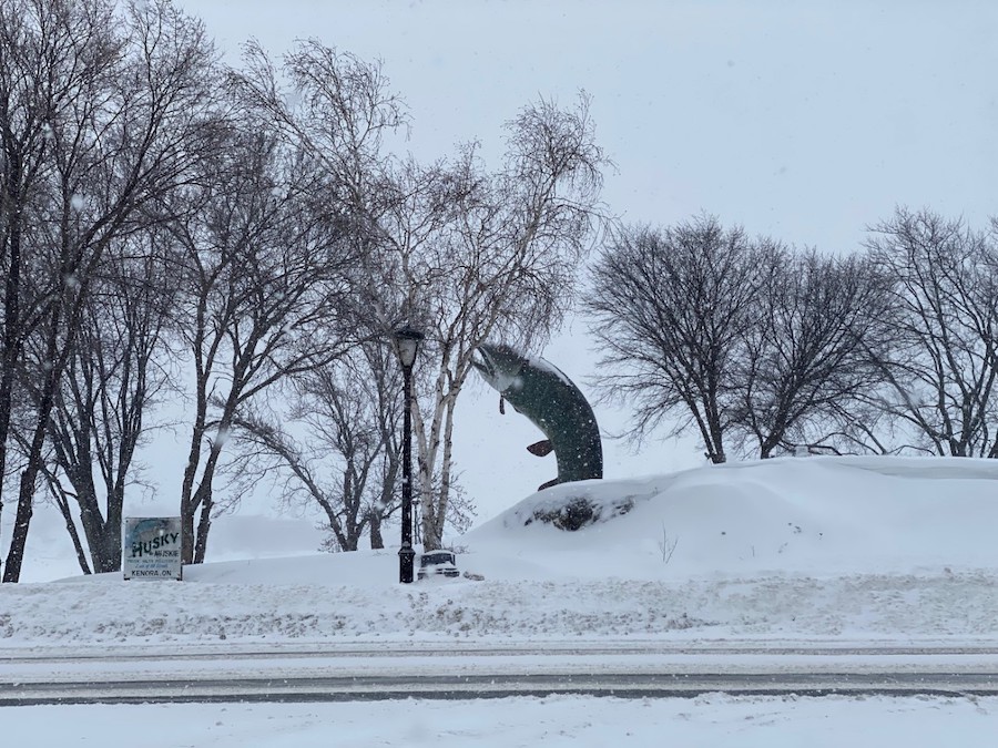
The Kenora area will face its first snowfall of spring as Environment Canada has issued a Special Weather Statement for the region.
The agency is saying two low-pressure systems are making its way to the region and will meet over Northwestern Ontario. One sweeping across the prairies and the other from the northern United States.
“We got a system that’s pushing through Northwestern Ontario and that’s why we’re forecasting a bit of snow,” said Gerald Cheng, Environment Canada Meteorologist. “Right now it looks like anywhere from 5 to 15 cm is possible so certainly the snow will start tonight and will continue through Tuesday.”
They added that rain, freezing rain, and ice pellets will move into Northwestern Ontario before changing over to snow early Tuesday morning (March 21, 2022).
This winter has been unusual, to say the least in terms of snowfall as the Kenora Airport has reported 241.9 cm of snow, which equals 7.9 feet. The average winter snowfall for Kenora is 164.1 cm.
Though the region has gotten its fair share of snow this winter Cheng wants to remind residents though spring is here that doesn’t mean the snow ends.
“Fluctuations of temperatures and weather go hand-in-hand with spring so certainly remember that even in April and May snow can still happen.”
A lot of the snow has had a chance to melt recently as above-zero temperatures have swept through bringing with it spring-like weather.
Those above-zero temperatures will continue this week to allow the snow that fell to melt, but that will all change this weekend.
“As we head into another weekend don’t expect those spectacular temperatures again because we will be going back to below seasonal temperatures.”
Environment Canada is calling for temperatures be -12 degrees for a low on Friday night (March 25, 2022) and -13 degrees on Saturday night (March 26, 2022). Daytime highs will be floating around the -2 degree range this weekend.