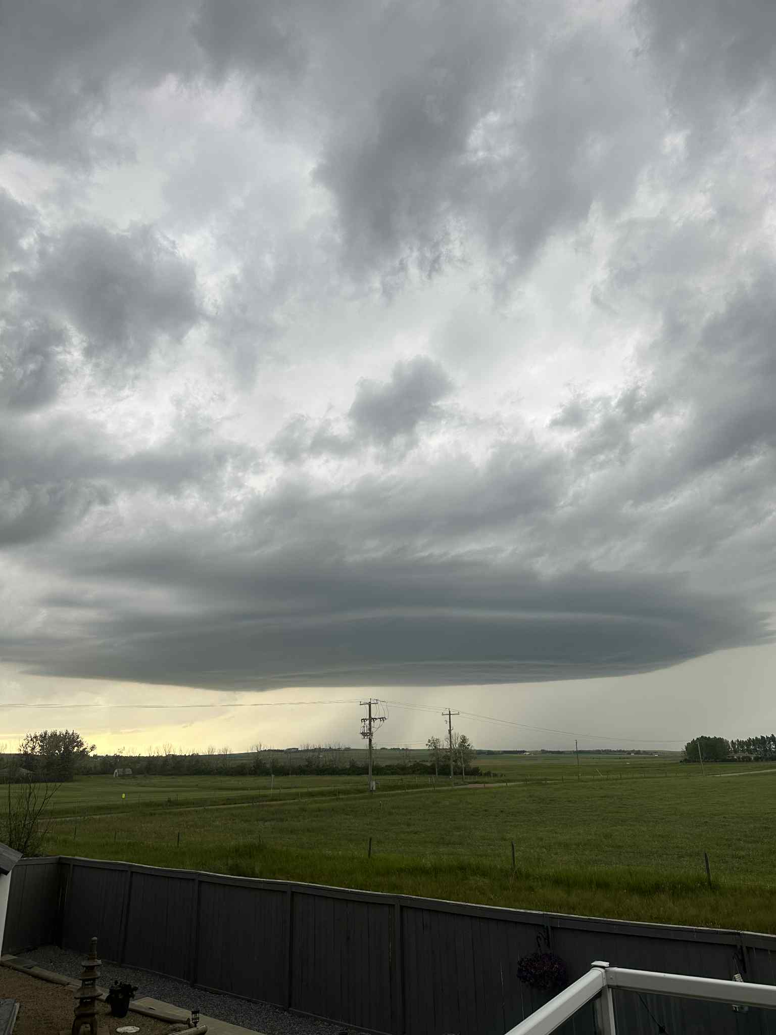
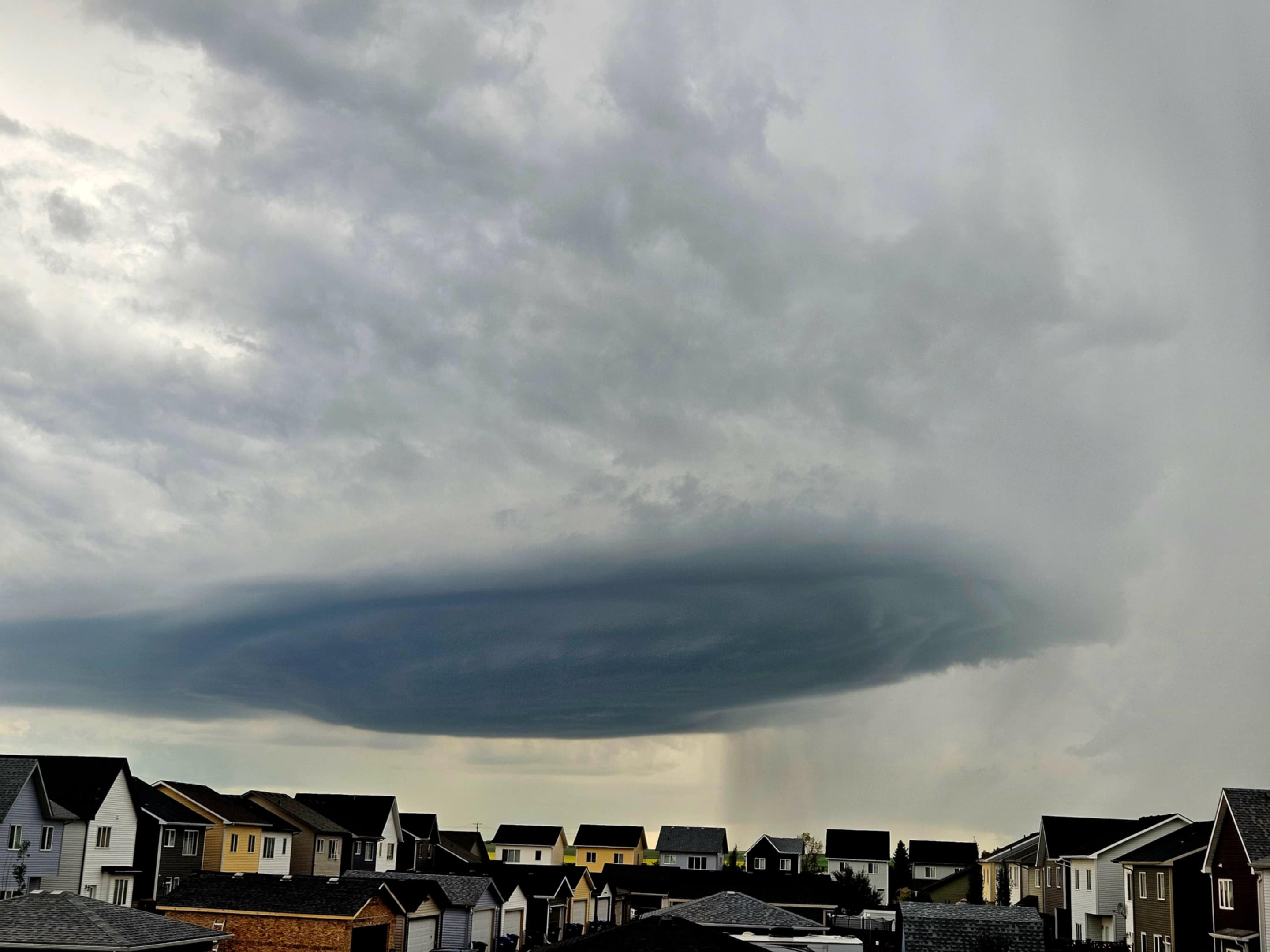
A storm that moved through the Airdrie area Sunday evening left its mark in several spots.
Christy Climenhaga, a scientist with Environment and Climate Change Canada, said the storm developed in the foothills before quickly moving toward Airdrie and Calgary.
"We saw a storm that formed in the foothills, then it moved pretty quickly towards the Airdrie and Calgary region," she said.
The system travelled at about 50 to 60 kilometres per hour and brought hail to parts of north Calgary.
"There was heavy rain and strong wind that hit Airdrie (luckily the hail did not)," Climenhaga said.
North of Airdrie, residents spotted striking cloud formations and shared photos on social media.
"We saw a super cell thunderstorm, where you do have that rotating updraft and can give very impressive cloud formations," she said.
Although there was rotation, Climenhaga said no tornadoes were reported, even though parts of southern Alberta were under a tornado watch for much of the day.

"The main threat with these storms was the hail and the very strong winds. It doesn't look like much materialized in terms of tornadoes for that," she said.
She noted that supercell thunderstorms can produce tornadoes under the right conditions.
"For the last 24 hours, the Calgary area has already reported about 34 millimetres," she said.
Environment Canada says conditions will clear today before more rain returns Thursday and into the weekend.
Sign up to get the latest local news headlines delivered directly to your inbox every afternoon.
Send your news tips, story ideas, pictures, and videos to news@discoverairdrie.com. You can also message and follow us on Twitter: @AIR1061FM.
DiscoverAirdrie encourages you to get your news directly from your trusted source by bookmarking this page and downloading the DiscoverAirdrie app.
