Update:
The Severe Thunderstorm Watch has ended.
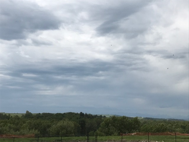
Original story:
Parts of Foothills County, Vulcan County, M.D. of Willow Creek, Siksika Nation, and Kananaskis were under a Severe Thunderstorm Watch
Environment Canada issued the Watch yesterday (July 18) at 10:47 a.m.
The affected areas included:
- Foothills Co. near Priddis and Brown-Lowery Prov. Park
- Foothills Co. near Diamond Valley
- Foothills Co. near Longview and Eden Valley Res.
- Foothills Co. near Okotoks and De Winton
- Foothills Co. near High River and Aldersyde
- Foothills Co. near Cayley
- M.D. of Willow Creek near Nanton and Parkland
- M.D. of Willow Creek near Claresholm and Stavely
- Foothills Co. near Blackie
- Siksika Res. 146
- Vulcan Co. near Arrowwood, Herronton, and Queenstown Vulcan Co. near Vulcan and Ensign
- Vulcan Co. near Carmangay and Champion
- Vulcan Co. near Lomond Travers and Little Bow Reservoirs
- Vulcan Co. near Milo
- M.D. of Ranchland
- M.D. of Pincher Creek near Cowley, Burmis, and Maycroft
- M.D. of Willow Creek near Granum and Peigan Timber Limit
- Kananaskis Improvement District near Highwood House
Thunderstorms were expected to develop late in the afternoon or evening and have the potential to become severe, bringing large hail, strong winds, and heavy rain.
Environment Canada reminded those in the affected areas that some severe thunderstorms can produce tornadoes.
If threatening weather approaches, take cover in a basement or interior room. If outside, protect yourself from debris and hail.
Severe thunderstorm watches are issued when conditions are favourable for the development of thunderstorms capable of producing damaging hail, wind, or rain.
For the latest weather updates, click here.