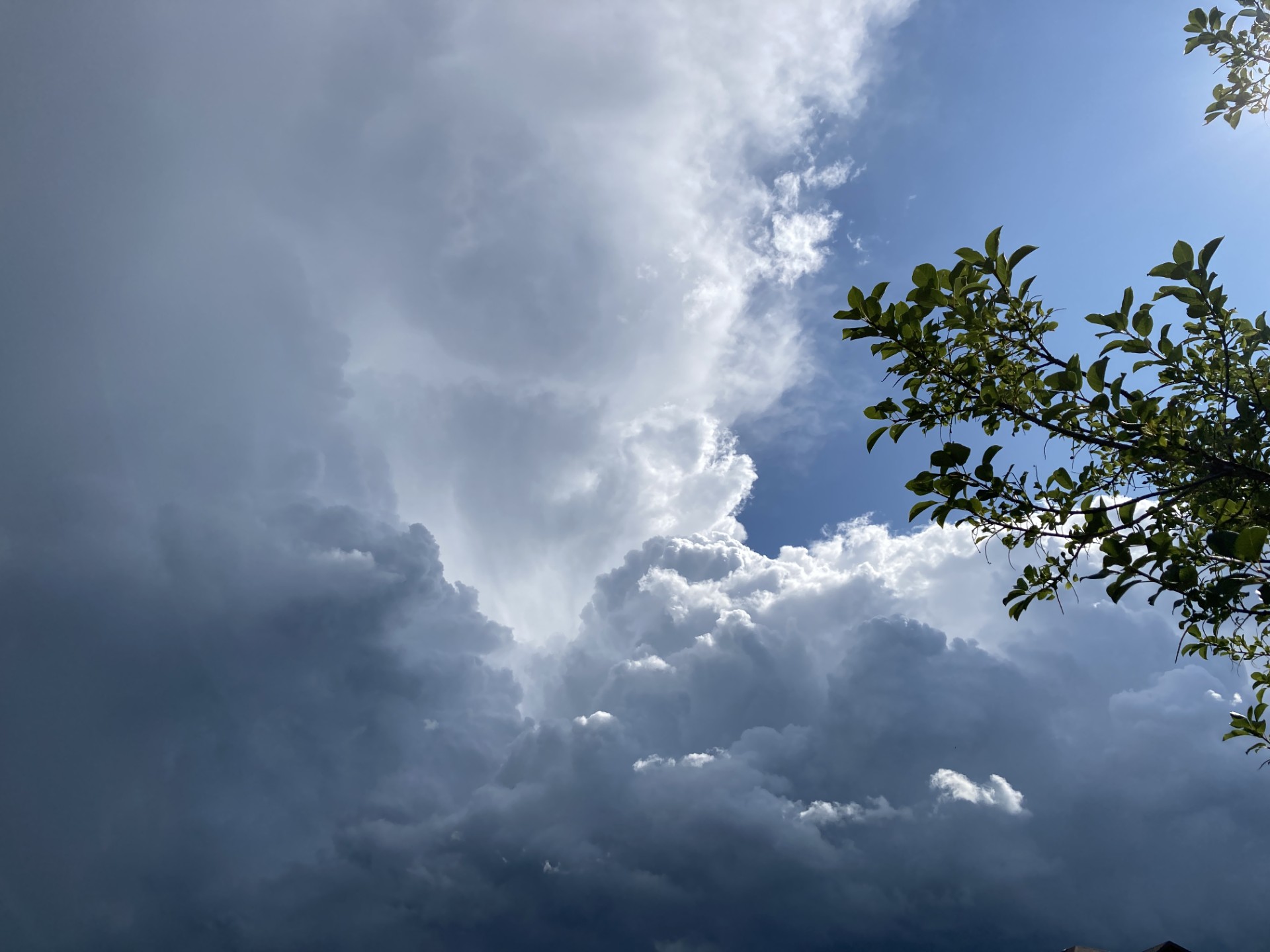
Estevan and the southeast as a whole are hosting a number of events over the weekend, but an Environment and Climate Change Canada forecast may make the weekend a bit wetter than hoped. The forecast is calling for chances of rain over the next three days, with thunderstorms also likely.
Scientist Christy Climenhaga talks about the system we'll see start up on Friday.
"We're seeing some warm weather building into the start of the weekend. Temperatures tomorrow will be much warmer, close to the 30-degree mark, just getting in some warmer air from the south. A risk of some unsettled weather over the weekend, thunderstorms possible pretty much every day of the weekend towards Sunday, just a little bit unsettled, some showery weather."
Rainfall totals will vary depending on which areas get hit the hardest, with the possibility of more severe weather as well.
"In terms of how much rain you can expect over the weekend, it really depends on how our thunderstorms end up lining up. Tomorrow we have the risk of some severe thunderstorm activity in southeastern Saskatchewan in the Estevan area with some strong winds and large hail," said Climenhaga, "So we'll have to see how those start to develop, but it's going to be a good weekend to maybe have your alerts handy because it could be an active one."
For those hoping to keep events going despite any rainfall, Climenhaga says any moisture will be limited to more isolated systems.
"It looks like it's more of that showery weather. When we're looking at Friday, the thunderstorms are expected to kind of develop in the afternoon over southeastern Saskatchewan, along just a disturbance moving through all forms of severe weather, possibly with that."
"It could be a stronger thunderstorm type day on Saturday over the south with the heat, drier conditions during the day, but then looking at the risk of some thunderstorm activity over especially extreme southern Saskatchewan and then some showery weather overnight into Sunday. So it's looking like it's going to be a little bit more isolated for the most part, but you could get some decent storms coming through."
As thunderstorm activity is likely to hit the area when people are outdoors, Climenhaga gives some reminders on what to do if you get caught out during a storm.
"So when you're looking at thunderstorm activity, you just want to first be sure of what you're looking at in terms of your risk. Are you looking at the risk of severe storms, all of that? Now, the best bet is when you hear thunder roar, to head inside, because lightning is dangerous and can hit even further away from a thunderstorm.
"If you're dealing with hail or strong winds, you do want to make sure that you have somewhere to shelter. If you are able to park your vehicle inside, if you've got a severe thunderstorm warning in effect, that will maybe help you out a little bit. "
If you do end up getting a tornado warning, which isn't expected, but it's always possible when you're dealing with some active and severe thunderstorms, to take shelter in a safe place in your house, likely a basement or the most central room, and stay away from windows and doors."
Climenhaga says she expects some better weather next week, with rising temperatures following seasonable conditions.