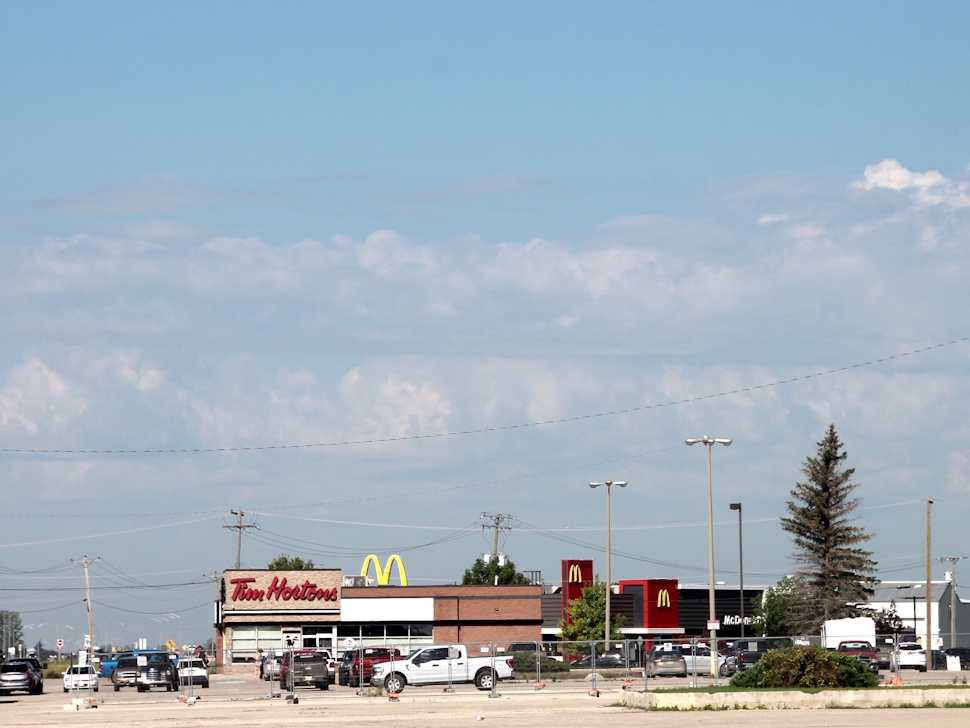
It’s shaping up to be a hot and unsettled weekend in the Portage area, with rising humidity and on-and-off chances for thunderstorms heading into Sunday.
Crawford Luke, a meteorologist with Environment Canada, says southern Manitoba could see multiple rounds of stormy weather through the weekend.
“There could be a few rounds of showers and thunderstorms,” notes Luke. “Generally speaking, it looks like most of the action is probably going to be south of Portage, especially over the weekend.”
Portage may see some passing showers or a thunderstorm Friday and again Saturday night, as a weak weather front slowly tracks across the region.
Rainfall totals will depend on where storms develop. Luke says Portage could receive between 2 and 10 millimetres, while areas near the U.S. border could get as much as 40 to 50 millimetres due to repeated thunderstorm activity.
Heat and humidity continue into Saturday
Luke adds that the heat and humidity will peak Saturday, creating muggy conditions in the region.
“Even tonight [Friday], looking at a low of 20 degrees,” he says. “Saturday is looking like the hottest day of the weekend. Temperatures into the low 30s, humidex getting up to 40 or so.”
Although the numbers fall short of Environment Canada’s criteria for a heat warning, it will still feel uncomfortable at times. Sunday is expected to be slightly cooler and less humid.
Next week looks dry, but smoke could return
As the system clears, the beginning of next week is forecast to bring drier, sunny conditions and steady temperatures in the mid-to-high 20s.
Luke continues, “Temperatures don’t really cool off too much, and then we kind of dry out for a few days.”
However, he mentions that wildfire smoke could drift into southern Manitoba depending on wind direction.
“We’re going to be in a northwest wind for a few days… if you go far enough northwest from Portage, you end up where all those fires are in northern Saskatchewan,” Luke remarks.
CLICK HERE FOR THE KITSON'S TOWING FORECAST
July trending drier than usual
With just over a week left in the month, rainfall totals remain well below normal.
“Our station in Portage here is showing 29.3 millimetres so far this month,” says Luke. “Typical July, we would expect 61.5 millimetres.”
He adds that unless Portage sees a few well-placed storms before month’s end, July will likely finish on the drier side.
Sign up to get the latest local news headlines delivered directly to your inbox every afternoon.
Send your news tips, story ideas, pictures, and videos to news@portageonline.com.
PortageOnline encourages you to get your news directly from your trusted source by bookmarking this page and downloading the PortageOnline app.
