If you’re heading out for the Saskatchewan Day long weekend, the weather is going to cooperate—at least for the first half.
Environment and Climate Change Canada meteorologist Crawford Luke says the forecast is calling for a “low chance” of showers or thunderstorms for today and tomorrow.
“I can’t promise you that there won’t be a thunderstorm in Moose Jaw,” said Luke.
“I do think it’s a lot more likely to be a problem further southwest... like south of Swift Current.”
Despite a 30 per cent chance of showers or thunderstorms in the forecast for the next couple of days, Luke noted that the actual risk for Moose Jaw is actually closer to 10 or 20 per cent.
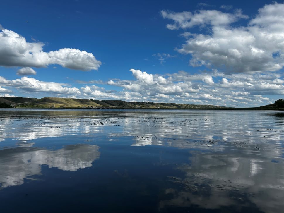
If you’re planning a trip to locations north of Highway 1—Last Mountain Lake, Buffalo Pound or Lake Diefenbaker, for example, you’re likely to be spared the worst of the weather.
“It really looks like today and tomorrow (in those areas), it's a really low chance,” he added.
“It’s more likely that you’re not going to see showers or thunderstorms.”
He cautioned that things could take a turn in the latter half of the long weekend, however.
“It seems like we won’t be able to hold off this rain past Sunday,” he said.
“Sunday and Monday, it is more likely we’ll get into it.”
That said, what precipitation is in the forecast isn’t likely to put too much of a damper on those outdoor plans.
“I don’t really foresee Sunday or Monday being a washout per se. I think it’s likely we’ll get into showers and thunderstorms, but it doesn’t necessarily mean it’s going to rain for the entire day,” Luke said, adding that the storms even hold off until Sunday night.
Even with the risk of scattered showers, things are looking pleasant heading into the long weekend. Temperatures are going to stay above 25°C throughout, and current models aren’t calling for much by way of wind. Overnight lows are also on the higher end—with none dipping below the 15°C mark throughout.