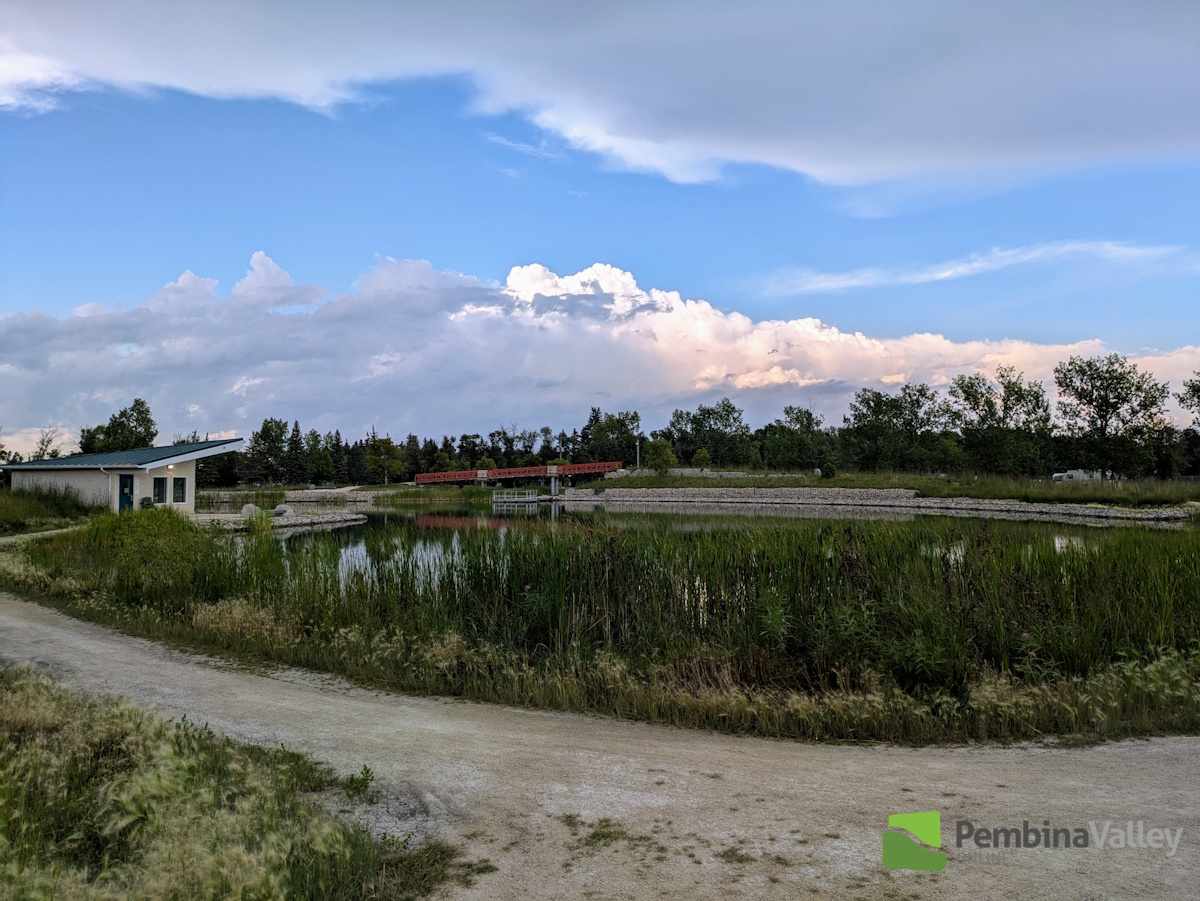
After much of the region dodged the drops and thunderstorms which developed Thursday evening, a much more general rainfall occurred during the early morning hours of Friday.
"We did see a couple of thunderstorm cells develop early Thursday night, with one in particular south of Morden and Winkler drawing attention," explained CMOS Accredited Weathercaster Chris Sumner. "That storm did reach severe thunderstorm thresholds, with Environment Canada issuing a warning for the R.M. of Stanley around 630pm. According to RADAR imagery at the time, the thunderstorm was nearly stationary, with very slow motion northeast. A second non-severe thunderstorm cell developed southwest of Altona, and also pulled northeasterly early Thursday evening."
For the latest Petro Canada Winkler forecast details, click here.
As for Friday morning's precipitation, Sumner noted that came courtesy of a trough of low pressure crossing the area which brought a wide swath of measurable rainfall to the region.
"By 9am Friday morning, most of the showers had tapered off as the area of rainfall pushed east and north," noted Sumner. "But we could be in for a second round of showers and thunderstorms, with a conditional risk of severe thunderstorm development late this afternoon and tonight."
The following totals are courtesy our PembinaValleyOnline Rainwatchers and the Manitoba Ag Weather Network, and are for the evening of Thursday, August 7th through 9am Friday, August 8th:
Between Morris and St. Jean - 37.5mm (1.5 inches)
Clearwater - 34.4mm
Snowflake - 33.8mm
Winkler (south of city) - 32.5mm (1.3 inches)
Altona - 30mm (1.2 inches)
Winkler (in city) - 28mm
Morris - 25.5mm
Plum Coulee - 25.14mm
Steinbach - 24.4mm
Manitou - 23.5mm
Reinland - 22mm (and the power was out for a period of time Friday morning)
Windygates - 22.0mm
Kane - 16.4mm
Elm Creek - 16.3mm
Morden - 15.5mm
Woodmore - 15mm (6/10)
Carman - 13.4mm
Jordan - 13.3mm
Dominion City - 11.9mm
25mm = 1 inch
Severe risk returning later today?
After a brief, albeit mainly cloudy reprieve from mid Friday morning to later in the afternoon, shower and thunderstorm chances will return, according to Sumner.
"A moist and warm airmass will be in place over the Red River Valley and Southeastern Manitoba today, and that will provide the fuel for the possible redevelopment of precipitation later today," he added. "The trigger may be a low pressure system pushing northward out of North Dakota, with its cold front the potential focus of severe thunderstorm development. The limiting factors today will be any ongoing shower activity during the day, extensive cloud cover and limited daytime heating. Those three factors will lessen the instability in the atmosphere, and therefore decrease the risk of severe thunderstorms. With that said, it is likely we will see some additional shower activity and non-severe thunderstorms during the early to late evening timeframe."
Sumner noted the most likely area for severe thunderstorm development is east of the Red River toward the Ontario border, and northward toward the Whiteshell.
"With this being Winkler Harvest Festival weekend, I'd encourage everyone planning on attending Friday night to stay weather aware, and make sure you have the weather notifications turned on in your PembinaValleyOnline app," he said. "You can do that by tapping the 'bell' icon in the app, and sliding the 'weather warnings' alert to 'on'."
