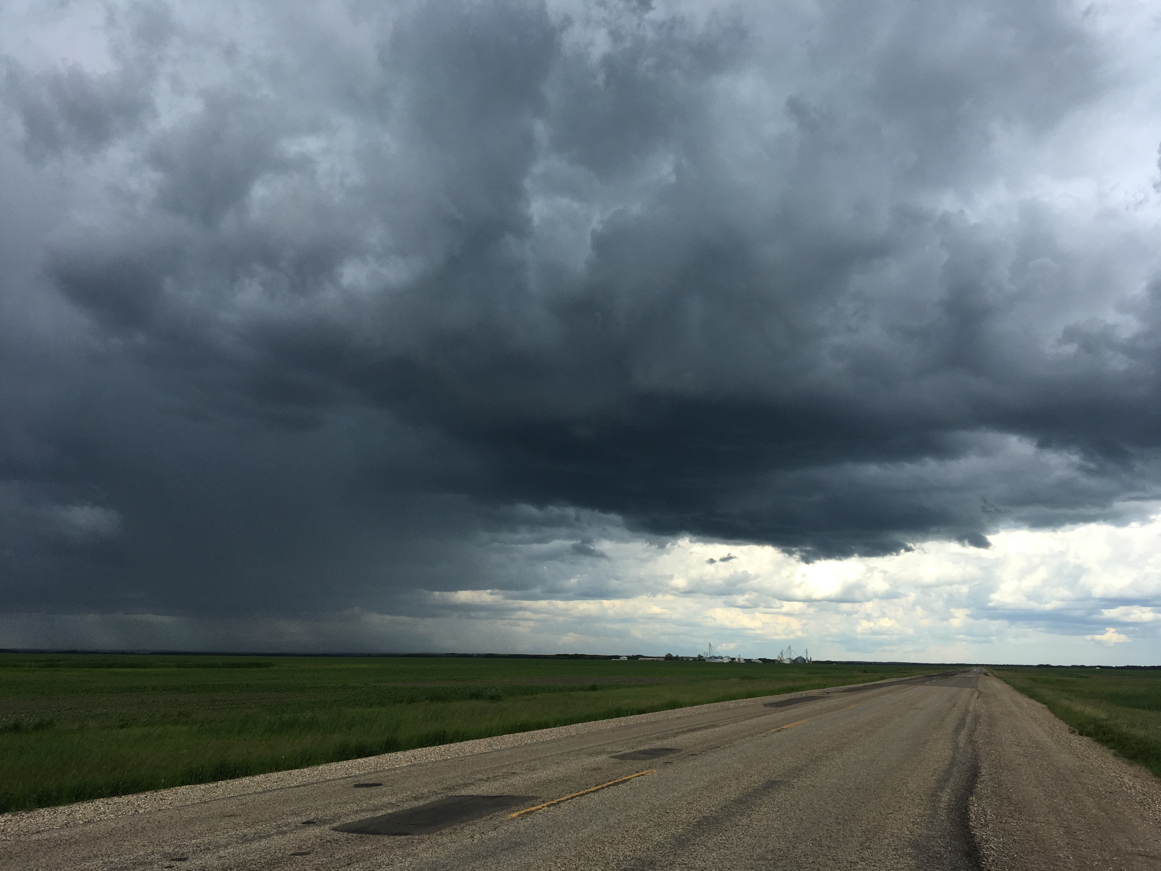
The weekend is here, and for those looking to enjoy some summer activities, they may want to keep an eye on the sky as thunderstorms are rolling through. Already, a severe thunderstorm warning has been issued for much of the southeast, with other areas already seeing major storms.
Environment and Climate Change Canada Scientist Christy Climenhaga says that the risk is mounting for our region.
"We've already seen some active weather across Saskatchewan and are expecting more as we head through the next couple of days. The risk of storms stretches into the Estevan area this afternoon, already seeing some activity throughout Southern Saskatchewan this morning. The main threats from storms that do pop up in that region are strong winds and large hail."
Southern Saskatchewan has even seen a tornado warning earlier today, with the call going up west of Moose Jaw this morning.
Climenhaga says we may need to keep an eye out tonight as strong storms move through Saskatchewan.
"It looks like through the weekend, there is the risk of some severe weather into tonight or this afternoon. So we want to keep an eye on your watches and warnings. The conditions look more favourable, towards that strong winds, large hail sort of situation further into southwestern Saskatchewan, West central Saskatchewan."
"There is the risk of some funnel cloud activity. Not expecting strong tornadoes with that, but the risk of those funnel clouds forming, which can touch down to form a weak landspout tornado, is a better chance for more tornado activity this afternoon towards southeastern Manitoba. But there is that risk of severe storms."
As the weather beats down on the southeast, Climehaga reminds people to stay aware of the current conditions as much as possible.
"You want to heed the warnings that do pop up. If thunderstorm warnings indicate that there are very strong storms in your area, you want to take cover of a thunderstorm approaches. Move into an indoor area if you're looking at large hail. You want to make sure you can pull your car into the garage, which might help you out a little bit, but you do want to make sure that you protect yourself and come inside."
"Tornado warnings, of course, take cover immediately in a basement or the most central room in your house, away from windows. As we make our way through the weekend, you could see some more rainfall if you are headed further north in the province, some more steady rainfall. So just check the conditions before you head out on the roads."
As if the storms aren't enough, Climenhaga says we'll also see some smoke creep into the southeast tomorrow as temperatures drop.
While it won't be all sunshine next week, the southeast may get a bit of a break with some mildly unsettled weather.
"As we make our way through the weekend, that low-pressure system causing all of that rainfall will start to move off as we make our way into next week. Still some unsettled weather possible in the southeast on Monday, you could see some showery weather. Not quite as much steady rainfall expected at this point for the southeast for the next couple of days into next week, but it's still a little early, things can change."
You can get all the latest weather alerts anytime by downloading the Discover Estevan app.