An upper level low moving west to east across central Manitoba brought showers with it throughout parts of Saturday afternoon and evening.
"There were embedded thunderstorms within these lines of showers, and that's why some points received significantly more rainfall than others," noted CMOS Accredited Weathercaster Chris Sumner. "The counterclockwise rotation of the low had the showers moving generally southwest to northeast, but not every part of the area received measurable precipitation yesterday due to dry pockets within the overall system."
Get your Petro Canada Winkler 5-day forecast, here
The following totals are for Saturday, August 9th and are courtesy PembinaValleyOnline Rainwatchers and the Manitoba Ag Weather Network:
Carman - 8.8mm
Steinbach - 8.2mm
Windygates - 8.6mm
Jordan - 6.1mm
Morden (in city) - 6.0mm
Reinland - 4.6mm
Winkler (south of city) - 4.4mm
Plum Coulee - 3.54mm
Kane - 3.0mm
Dominion City - 2.1mm
Altona - 1.5mm
Elm Creek - 1.3mm
25mm = 1 inch
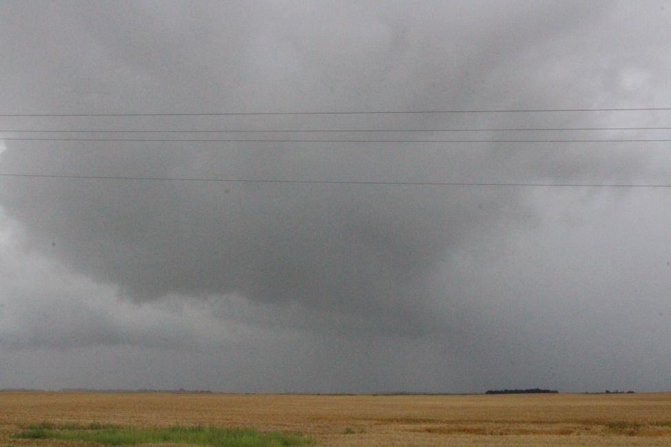
Meanwhile, Sumner noted this upper level low prompted Environment Canada to issue a Special Weather Statement Saturday for much of Western Manitoba, extending to the Pilot Mound, Manitou and Carman regions, cautioning about the possible development of funnel clouds.
"Due to how quickly the relatively weak thunderstorms could have formed within yesterday's system, rotation can actually be created within those individual cells which can lead to funnel clouds," he noted. "According to Environment Canada, funnel clouds were reported in the Grandview and Bagot areas on Saturday."