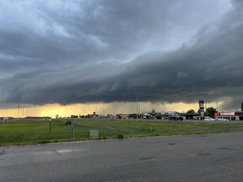
The first week of August and a plentiful supply of rain is making up for a dry July in central Saskatchewan. A three-day system brought scattered showers and generous rainfall starting on Saturday and continuing through Sunday evening.
“Looking at totals from Friday morning through to this morning, in the Humboldt region, it’s around 37 mm,” says Environment and Climate Change Canada meteorologist Crawford Luke. “Our highest totals were north and east of Humboldt around Melfort, Tisdale and Hudson Bay. A few stations in this area reported 50 – 100 mm of rainfall.”
The highest level of precipitation was recorded near Mistatim with 115 mm in the gauge. Most of the rainfall came on Friday and Saturday.
“For a lot of these areas, that represents a month to two months worth of precipitation, so definitely a lot of rainfall going around.
There were reports of localized flooding in Saskatoon with some businesses forced to close. In Prince Albert, the city faced extensive flooding with people taking to the streets in canoes in slow drainage areas.
The system hasn’t quite worked its way out of east central Saskatchewan, and despite clearing skies, Luke says there’s still a chance that showers or thundershowers will pop up through the late afternoon or evening hours.
The rainfall could put the brakes on harvesting operations in some locales, and the heavy downpours will have created issues with lodging on some crops.
“It looks as thought we get into Tuesday, things will clear up and we’ll get into a nice sunny day.”
Clear skies are expected to prevail through the remainder of the week.