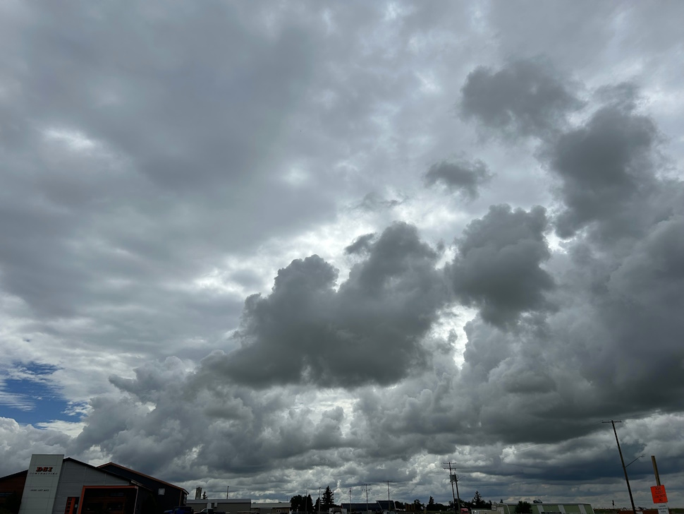
While the sun has been shining here in the southeast for the most part this week, this will soon be changing again, with a thunder system expected to bring even more moisture to the area.
The forecast calls for a system beginning this weekend, which could keep the rain falling into next week.
"It looks like it's more like a thunderstorm risk than anything," shared Meteorologist with Environment Canada, Crawford Luke. "It's going to be a bit more organized rain further north, potentially. But for the southern part of the province, it's going to be more of a thunderstorm risk in terms of how we get our rainfall."
He said while the rain isn't officially expected to begin until Sunday, a few drops on Saturday are a real possibility for preparing us for what's to come.
"Especially if you get thunderstorms on both Sunday and Monday, there could be a few spots in the southeast that have like an inch of rain or 25, 30 millimetres or so by next Monday evening."
Luke said it may not be a widespread rainfall, though. The area could be hit with 'highly variable amounts', depending on where the thunderstorms end up forming and tracking.
After Monday, he noted it looks like we may be returning to an unstable, potentially rainy pattern similar to what we experienced in July, when we had above average rainfall.
"It is a bit of an active pattern. Monday, that kind of goes through, and Tuesday, it looks like it might be further north again, like well north of the southeast. But then Wednesday, it looks like we're kind of back into a chance of some thunderstorms again in the south and maybe even again Thursday. It kind of looks overall like next week probably is going to be a bit more on the unsettled side."
While the farmers are hoping for a stop to the rain so the crops can finish developing, they will be happy to know we are in for warmer weather.
Find the forecast anytime on our Weather Page.