The southeast saw quite the storm come through last night as Environment Canada sent out thunderstorm and eventually tornado warnings to the area. The system hit Sunday afternoon into the overnight, as a few individuals saw the beginnings of some severe weather.
Environment and Climate Change Canada Meteorologist Crawford Luke takes a look at some of the reports they received yesterday.
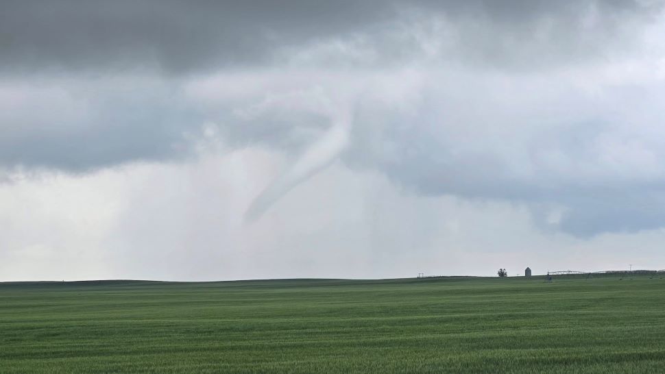
"We've got a few reports of thunderclouds from some of those storms from yesterday afternoon and evening. We've got a few funnel cloud reports from around Colfax. That would have been around, I guess, like 5:36 or so."
"Then, later in the evening, we got another report of a funnel cloud from Tribune. So just kind of west of Estevan there. Nothing confirmed as far as tornadoes at this time. I'm not aware of any damage. But we do have some pretty good photos and videos of funnel clouds. So we'll definitely be looking into those a bit further."
Hail damage wasn't immediately apparent from what Luke received, but he's expecting to hear something soon.
"As far as hail goes, we haven't gotten any hail reports yet, but I wouldn't be surprised if a few came in later today or if we just find out about more today, because definitely it looks like those storms would have had some hail as well."
While rain gauges didn't catch any rainfall amounts, Luke says they also looked at some of their estimates for heavy rain in the southeast.
"Some of the radar estimates, kind of towards Weyburn and stuff, were close to 30 to 40 millimetres in just very localized areas. So there's probably some good downpours out there, but it just didn't fall on places where we have our rain gauges."
The weekend ended with a bit of fog, which crept into various southeast areas in the morning.