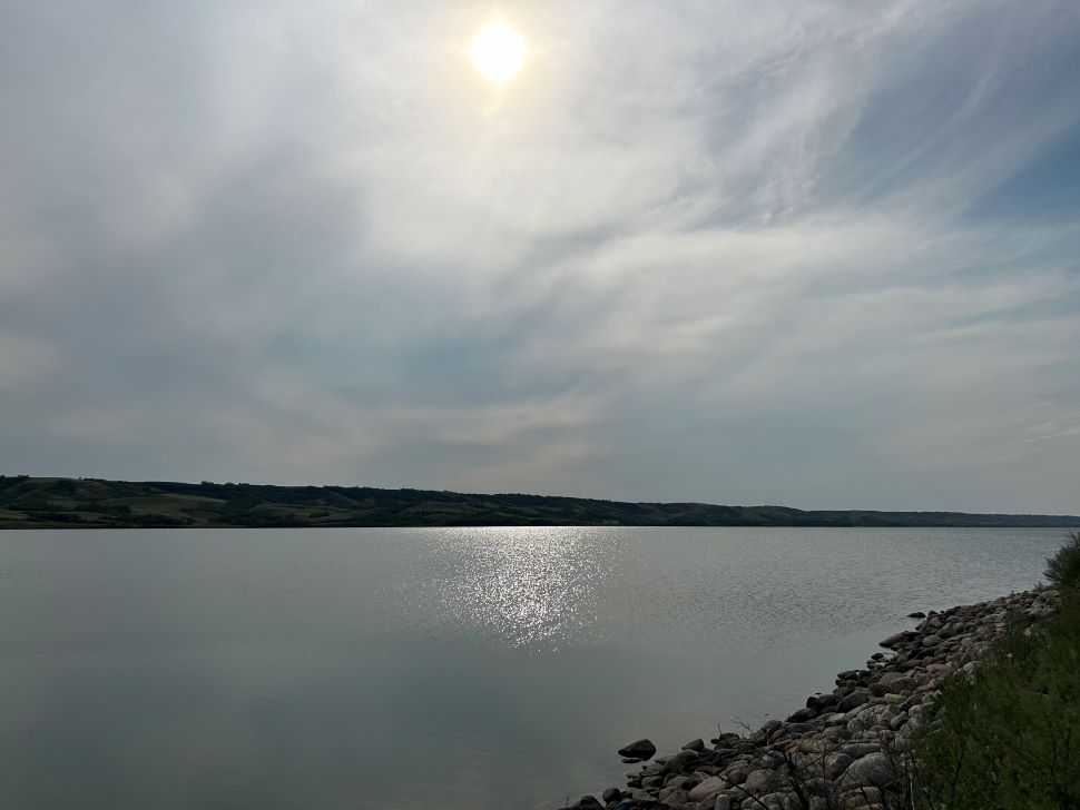
A heat warning is in effect across much of southern Saskatchewan today, and things are going to stay on the warm side for at least the next 48 hours.
According to Environment and Climate Change Canada meteorologist Crawford Luke, today is going to be a bit of a scorcher.
“As far as temperatures go, today is definitely the hottest day of this current heat wave. I'm still expecting it to be hot tomorrow, but maybe just a touch cooler. So today we’re forecasting a high of 34, but the record high (for August 19) is 36.1 so I’m not sure we're going to break any records in Moose Jaw,” he explained.
In addition to the extreme heat, there is also the possibility of some inclement weather — specifically thunderstorms — however, Luke is on the fence about whether or not the system is hit Moose Jaw.
“There’s a low chance for some showers or thunderstorms this evening, and then perhaps again tomorrow morning,” he said.
“It looks like it's going to be more southeastern Saskatchewan towards the Manitoba border and then there could be some more thunderstorms further north towards Saskatoon, but it doesn’t really look like it’s going to be a Moose Jaw problem.”
He added that it is entirely possible that little to no precipitation ends up falling in the city itself, but we could get a bit of light show should the system track overhead.
“Areas that do get into thunderstorms, especially tomorrow, could be a pretty severe day with some large hail tornado risk and damaging winds,” he said.
“But again, that's looking like it's tracking more to the north and the southeast.”
The heat warning is expected to remain in effect until tomorrow, although it is not forecast to be as intense, topping out at 32 degrees for the high. Once the heat warning is lifted on Wednesday the sunshine will stick around but things are trending toward a return to more seasonable temperatures, with highs in the low-to-mid 20’s clear through the weekend.