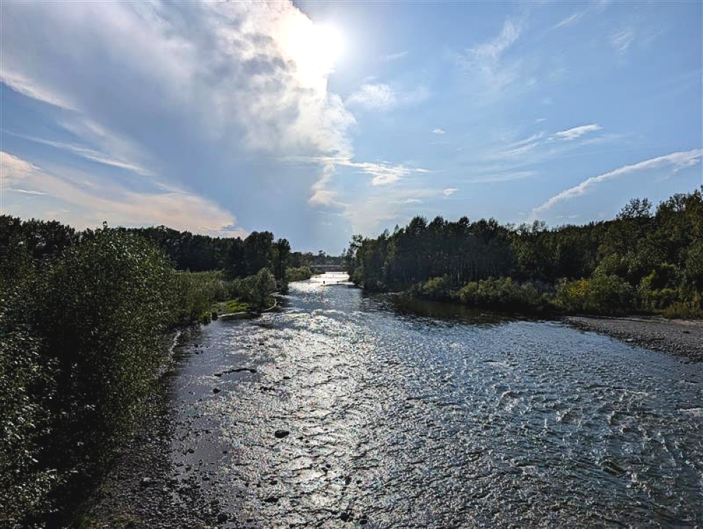
It will be warm all weekend long, finishing off August with a bang.
According to Environment Canada Meteorologist, Crawford Luke, it will be hovering around 30 degrees all weekend.
"It looks like it should be kind of more of the same from what we've seen so far this week, just a lot of, you know, sunshine, warm temperatures, hot temperatures even," Luke explains.
Luke adds that we'll have to keep an eye on potential afternoon showers closer to the mountains, but it looks as though it should be overall fairly dry, sunny, and hot for much of this weekend.
"So, basically a continuation of what we've been seeing the last few days."
The temperature will range between 28 and 31 degrees as daytime highs this weekend.
But, the nights will be cooling off down to around 10 degrees, which is the main reason the heat warning hasn't expanded into the southern parts of the province.
"But, you don't have to go very far north to get into the heat warnings and either way, the afternoons are going to be quite hot," Luke says.
With it being so late into the summer, Luke says this heat is an anomalous event, particularly further north in Alberta.
There is a very warm ridge of high pressure that's settled in over western Canada, including B.C., the Northwest Territories, Alberta, and a bit into Saskatchewan.
"This feature has kind of parked itself here and it looks like it's going to be here for at least several more days through this long weekend."
While there are some heat records being made in Alberta during this hot stretch, none of them are for this area.
According to Luke, the record highs for this area for this time of year range between 32 and 34 degrees, making this weekend a couple degrees shy of the record.
On the flip side, the record lows for this time of year here are between -3 and 2 degrees.
Even though the heat is almost at record breaking levels, Luke says that by early next week, we should get a bit of a break from the heat.
To stay up to date on the weather, head over to our weather page.
