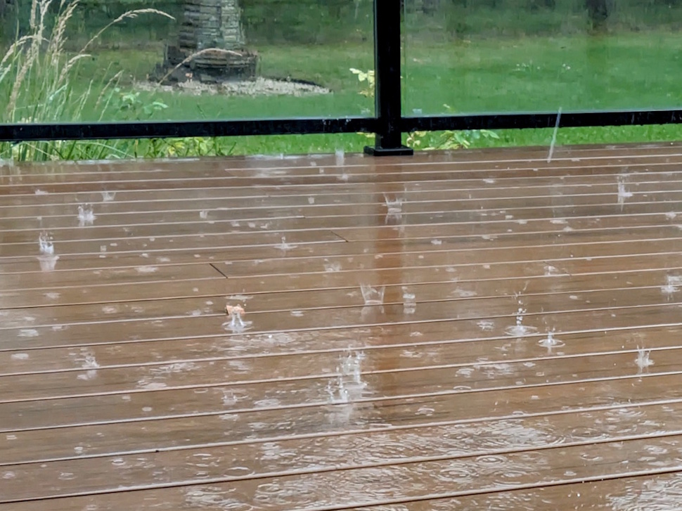
The first widespread rainfall in several weeks dropped a welcome swath of precipitation across Southern Manitoba on Thursday.
“This particular low-pressure system descended out of Saskatchewan, and then moved northwesterly to southeasterly across Southern Manitoba,” explained CMOS Accredited Weathercaster Chris Sumner. “The low was kind of ‘clipper-like,’ due to where it originated from, the fact it was a fairly quick mover, and behind it gusty northwesterly winds have developed. Based on the totals coming in this morning, it appears the area of heaviest precipitation was south of Highway 2, west of the Red River and east of Highway 34.”
After a substantial drop in temperatures following the September long weekend, Sumner added that the rain only amplified the fall-like feel of back-to-school week.
Rainfall Totals – Thursday, September 4, up until 8 am on Friday, September 5
(Courtesy Province of Manitoba website)
25.4 mm = 1”
- Alexander 7.2
- Argue 9.6
- Bede 8.2
- Birtle 9.1
- Boissevain 8.5
- Brandon 6.4
- Cartwright 9.9
- Clearwater 8.9
- Dand 8.4
- Deloraine 9.1
- Eden 14.9
- Erickson 10.8
- Findlay 7.6
- Forrest 8.9
- Glenboro 8.9
- Hamiota 7.2
- Holland 9.9
- Ingelow 6.9
- Kenton 6.6
- Killarney 7.4
- Kola 11.2
- Lake Audy 20.6
- McAuley 12.3
- Miniota 9.4
- Minnedosa 9.9
- Minto 8.6
- Mountainside 8.5
- Neepawa 13.7
- Newdale 13.8
- Ninette 8.8
- Oakburn 11.0
- Pierson 8.2
- Reston 9.4
- Russell 11.5
- Rivers 6.4
- Shilo 8.7
- Sinclair 8.9
- Souris 7.6
- St. Lazare 12.1
- Virden 9.5
- Waskada 9.2
- Wawanesa 13.7
- MOST RAIN - Lake Audy 20.6 mm
Cool Start, But Warmer Weather on the Way
The below-average start to September will persist through the weekend, but temperatures are expected to rebound soon. Average daytime highs for this time of year sit around 21 degrees, with overnight lows near 8.
“An upper-level low centred off James Bay is responsible for Friday’s breezy and mainly cloudy conditions,” said Sumner. “Behind it, surface high pressure will build over the eastern Prairies Saturday and Sunday, meaning a return to a sunnier sky and temperatures warming back up as we see surface winds shift to southerly on Sunday and for the start of next week. Alongside that, upper-level ridging will return over the region, allowing for a warmer airmass to settle in, with the long-range forecast models indicating little chance of rain for the first half of next week, with daytime highs in the low 20s.”