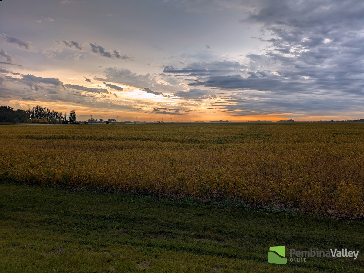
Thursday's rainfall was expected but also somewhat unexpected in some regards. That from CMOS Accredited Weathercaster Chris Sumner.
"The day started with the rare scenario, especially this late in the season, of a complex of severe thunderstorms entering southwestern Manitoba and making its way eastward," he explained. "Watches were issued around 4am Thursday, extending as far east as the Pilot Mound and Manitou regions, with Warnings in place for a time in places including Boissevain, Killarney and Deloraine. It's rare to have morning severe weather, and even more unique to have it at this point in September."
He noted it was two separate areas of thunderstorm activity that ended up combining. One area crossed over from southeastern Saskatchewan and the other pushed northeastward out of Montana and North Dakota.
"That area of precipitation pushed eastward all Thursday morning right across Southern Manitoba, primarily along the Trans Canada and southward, as it entered the Red River Valley and Southeastern Manitoba," he said. "Additional showers and thunderstorms developed behind that morning convection, riding the low level jet stream which was cresting near the International border Thursday at the northern edge of an atmospheric ridge. That's why, after the morning activity, the additional precipitation and thunderstorms were essentially confined to that area, riding it like a conveyor belt."
For the latest Petro Canada Winkler forecast details, click here.
He pointed to the totals for Snowflake and Windygates which saw more thunderstorm activity than the rest of the Pembina Valley yesterday from cells that were confined to the immediate border region. As for Steinbach's outlier total, according to Sumner, half of that came Thursday, with the other half coming from a separate intense thunderstorm that hit the area early Friday morning.
The following are rainfall totals for Thursday, September 11th through Friday, September 12th at 5am, and are courtesy of our PembinaValleyOnline Rainwatchers and the Manitoba Ag Weather Network:
Niverville (south of town) - 125mm
Steinbach - 105.1mm (4.2 inches)
Snowflake - 44.9mm (almost 1.8 inches)
Windygates - 37.2mm (almost 1.5 inches)
Brunkild - 33.1mm
Elm Creek - 25.5mm (just over 1 inch)
Woodmore - 19mm
Kane - 13.3mm
Morris - 13.3
Dominion City - 13.0mm
Reinland - 12.7mm
Winkler (south of city) - 12.5mm (half inch)
Altona - 11mm
Plum Coulee - 11.43mm
Carman - 11mm
Jordan - 10.3mm (just over 4/10)
Morden (in city) - 8mm
Gretna - 8mm
Manitou - 7mm (almost 3/10)
Clearwater - 5.5mm
25mm = 1 inch
Feeling like Summer in days to come
"Seasonal temperatures are expected today, landing around 23 to 25, which is still above average for this point in September," he added. 20 degrees daytime and 7 degrees overnight are the normals for right now.
Looking ahead to the weekend, according to Sumner, a surge of warm and humid air will push northward from the United States as the atmospheric ridging in place over the northern U.S. and Southern Manitoba continues.
"At this point, the forecast models are suggesting temperatures well above average for this time of year possibly until Tuesday next week, with a couple opportunities we may flirt with 30 degrees," he said. "We will also enter a more active pattern, very much like Summer, with disturbances riding the jet stream from the southwest United States northward to our region. These will bring multiple chances of showers and thunderstorms Friday through Tuesday."