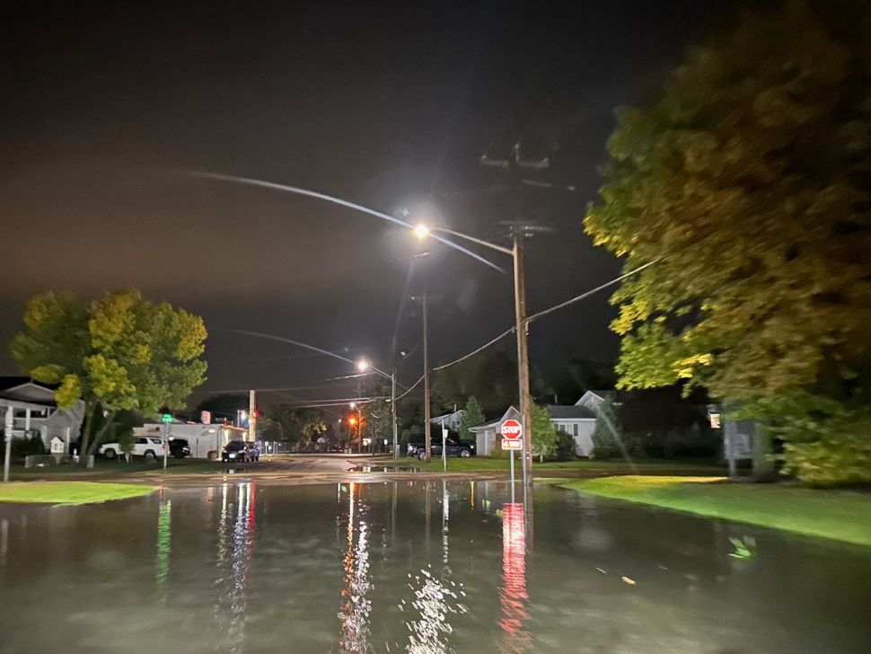
Thursday overnight into Friday early morning, southern Manitoba was hit hard with heavy rainfall with a line of thunderstorms that moved through the area.
"The one with the most precipitation was Steinbach," says Chris Stammers, a meteorologist with Environment and Climate Change Canada (EC). "According to our agriculture station, they had 103 mm [of rain] over the course of a few hours last night."
Stammers says Sprague had a total of 84 mm and Marchand had 58 mm. The city of Steinbach and the surrounding areas are left with flooded streets this morning from the sheer amount of rainfall on Friday early morning.
"It was a big line of thunderstorms that was moving eastward. Any communities that were right under the path were getting hit for a long period of time. That's why they had a lot of rain."
Friday's forecast for Winnipeg currently doesn't have any more rainfall expected and no thunderstorms.
"There are still a few remnant storms south of the city [Winnipeg] right now, so for the next couple of hours, there will be a chance [of more rain]. But then it looks like things will be more to the west today. We are in kind of an unsettled air mass for the next couple of days with increasing heat and humidity."
The temperatures have been above normal all week, with the average temperature hovering around 19 degrees.
"We'll be well above that, into the low to mid 20s and maybe even by Saturday and Sunday, we'll be pushing the upper 20s with lots of cloud around. Almost summer-like with the humidity that's out there still."
