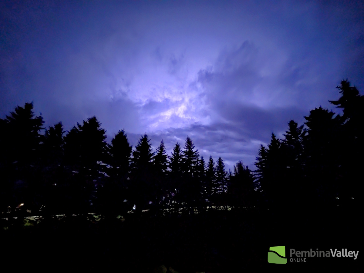
For the second time in about a week parts of Southern Manitoba experienced late season severe thunderstorm activity.
"As we get deeper into September, the more out of character for the season it is to see the conditions necessary for severe thunderstorm development," explained CMOS Accredited Weathercaster Chris Sumner. "Moisture, instability, shear and a trigger are what you need, and we had all of that Sunday. A warm and very moist airmass was in place over the region, with some atmospheric wind shear in place. The trigger was a warm front lifting northward out of North Dakota. The system which impacted this area also spawned several tornado reports in central North Dakota late Sunday afternoon and early evening."
Severe Thunderstorm Watches were issued for most of the Pembina Valley around 8pm, with Warnings issued closer to 9pm with the municipalities of Louise, Pembina, Stanley and Rhineland at one point having a Warning in place at the same time.
"Right around 9pm we saw a line of severe thunderstorms extend from the Altona/Gretna area westward toward Cartwright," he noted. "The thunderstorm cells were relatively fast moving, and not very large in size, and we can see that in the reports this morning with limited rainfall totals."
For the latest Petro Canada Winkler forecast details, click here.
The following totals are for Sunday, September 15th and are courtesy PembinaValleyOnline Rainwatchers and the Manitoba Ag Weather Network:
Snowflake - 13.5mm
Reinland - 11.2mm
Manitou - 10.7mm (just over 4/10)
Winkler (in city) - 8mm
Plum Coulee - 7.87mm
Morden (in city) - 6mm
Kane - 5.5mm
Jordan - 5.2mm
Winkler (south of city) 5.0mm (2/10)
Carman - 4.7mm
Cartwright - 3.7mm
Altona - 3mm
Clearwater - 2.8mm
Gretna - 2mm
Elm Creek - 0.6mm
25mm = 1 inch
More Summer to come?
According to Sumner, the Summer-like conditions will continue Monday and Tuesday with that same warm and humid airmass in place as atmospheric riding remains over the region, keeping the jet stream north of our area.
"The unsettled conditions will also continue today, tonight and into Tuesday," he said. "An approaching upper level low pressure system may provide the trigger for additional thunderstorm development Monday afternoon and evening. There also is the risk of severe thunderstorms Monday afternoon and evening, too."
Temperatures will remain above average for this time of year, with daytime highs Monday and Tuesday between 23 and 25 degrees. 18 degrees is the normal for the point in the month. Factoring in the humidity, it will feel like 30 to 32 Monday and Tuesday.
"The upper ridge that's been place over the area will start to breakdown and move eastward Wednesday, and that will mean a return to seasonal conditions for the back half of the week," he said. "Also, I am keeping an eye on that upper level low pressure system which is showing up in the forecast models which could bring several rounds of rainfall to Southern Manitoba over the next several days."
![]()
