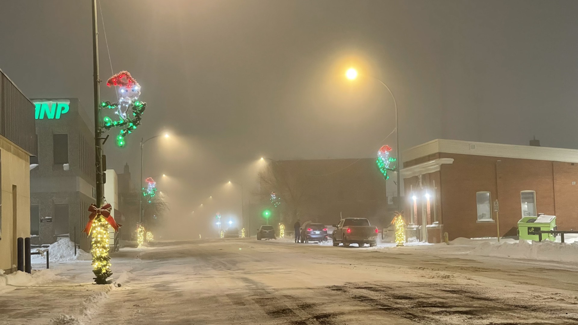
A heavy fog has moved into the southeast, impacting visibility on roadways all across the area.
That fog crept in following some freezing rain on the weekend, and Environment Canada is taking a look at how long it'll last.
Meteorologist Dan Fulton gives some info on the fog and what form it's taking over the prairies.
"The fog advisory actually is in effect for much of the province. It extends into Alberta to the West and also into southwestern Manitoba to the east there. The fog is the result of a warm front approaching from the West, and that's creating conditions that are really good for fog to develop, especially through the overnight hours."
Fulton says people will need to hold on past the morning to see the air clear, with more fog possibly on the way after that.
"The good news is that we should see that fog lift, probably won't be till this afternoon in the Estevan area, and as the warm front kind of starts moving closer and we get into a little bit of a warmer air, might see return to some fog tonight, but we're not expecting such widespread fog as is being encountered this morning."
Fulton says that by Tuesday morning the fog will be gone, resulting in a clear and above-average day for Estevan.
That's capping off a number of systems which have seen heavy snowfall, winds, and freezing rain, which will now see a break leading up to Christmas.
"In the case of the fog, it's kind of the lack of systems that helps create fog. So the lack of big low-pressure systems, things like that. Even in the quiet periods, there's something that you kind of have to look out for."