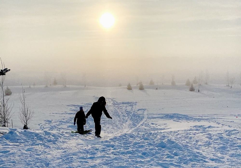
After surviving a cold snap over the weekend, the southeast isn't out of the woods just yet.
According to Environment Canada, the area can expect a cold start to the week, followed by a sharp warm-up for Wednesday and Thursday. We'll be heading into a temperature plunge starting this Friday, with the cold snap lasting until Monday. Meteorologist with the weather agency Danielle Desjardins described it as a 'roller coaster' weather pattern.
"It all has to do with the exact placement of the jet stream. So it's kind of going to be almost a repeat of last week, where we get warm Pacific air entering the province. We're going to see temperatures climb to near or maybe just above the freezing mark again. That will last for a few days, but then it's back on the roller coaster into the weekend. So [we're] expecting another cold snap for the weekend with highs into the -20s."
This comes after a cold snap battered much of the province. Desjardins explained that a low-pressure system fell in Saskatchewan, bringing in Arctic air that plunged the mercury and sent wind chill values close to the -40s. She added that while the pattern is seasonal, "big temperature swings" seem to be the interesting part of this winter cycle.
The forecast is also calling for some precipitation, but Desjardins noted that it'll be a light dusting in the area. "It's kind of along [...] a warm front that's going to start ushering in this warm Pacific air, so not expecting a whole lot to fall out of the flurries today. The next potential for more significant accumulations will be kind of later on Thursday and possibly into Friday morning; maybe a couple of centimetres for the southeast," she said.
The roller coaster weather pattern, with the freeze-thaw cycle the area will be seeing in the next few days, could cause some issues concerning travel. She cautioned that slippery conditions could appear on the highways this week.
"This kind of freeze-thaw cycle, where we get just above zero and then the temperatures drop to below zero, definitely can make for some slippery road conditions as the roads refreeze, especially overnight. I would say just keep an eye on road conditions. Give yourself a little bit of extra time to get to where you need to be safely. And of course, defensive driving is always prudent."
"It just seems like it's been the theme for this year, this winter so far, is this freeze-thaw cycle," Desjardins warned.
You can check up-to-date weather conditions 24/7 on the Hail-Otto CARSTAR Weather Page. Updated highway conditions can be found on the Trent's Tire Road Reports link to keep you safe in your travels.