Topsey-Turvey is the best way to describe this week's weather, as the southeast is poised to receive a warm spell for the next couple of days.
"It all has to do with the exact placement of the jet stream. So it's going to be almost a repeat of last week where we get warm Pacific air entering the province. We're going to see temperatures climb to near or maybe just above the freezing mark again. That will last for a few days, but then it's back on the roller coaster into the weekend," shared Danielle Desjardins, a meteorologist for Environment Canada.
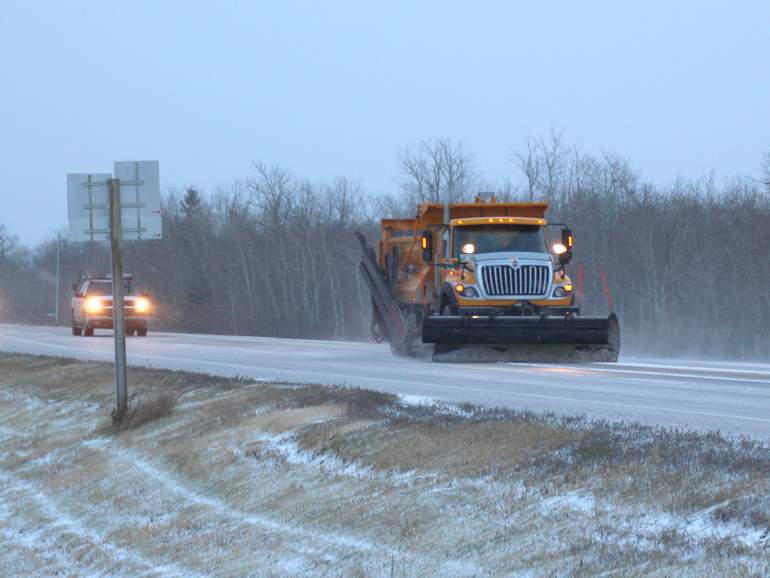
For the next couple of days, southeast Saskatchewan is expected to receive highs around plus 1, calling for some melted ice and slushy conditions on the roads. However, the short reprieve from the cold won't last, as freezing temperatures return Friday. Desjardins warns that motorists could see black ice on the roads. She cautioned drivers to stay alert.
"This kind of freeze-thaw cycle, where we get just above zero and then the temperatures drop to below zero, definitely can make for some slippery road conditions as the roads refreeze, especially overnight. So, you know, I would say just keep an eye on road conditions. The Saskatchewan Highways website is a good resource for that. Give yourself a little bit of extra time to get to where you need to be safely. And of course, defensive driving is always prudent. It just seems like it's been the theme for this year, this winter so far -- this freeze-thaw cycle."
Weather models are still determining how cold it will get this weekend. The weather agency is calling for a possible cold snap for the southern part of the province, the worst of which could come on Monday.
You can stay up-to-date with the latest weather information with the Hail-Otto CARSTAR Weather page on the DiscoverEstevan app. Real-time road conditions can also be found at the Trent's Tire Road Reports link.