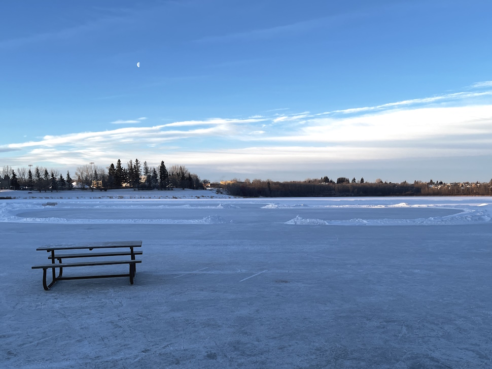
Relief is on the way for Central Alberta after an extreme cold warning was in place for much of the region over the weekend.
Chris Wielki is a meteorologist with Environment and Climate Change Canada.
"The arctic air mass that moved in for the weekend is slowly moving out over the early part of this week," he explained. "It will be a little bit milder today in Red Deer. Forecasting a high of minus 11. The real warming doesn't come up until Tuesday when highs come up to about minus three."
Wielki says the main warm-up will begin on Tuesday.
"Quite a bit milder than what we experienced through the weekend," he noted.
The high for Wednesday is minus four, Thursday is zero, and minus three for Friday. Overnight lows will be in the minus single digits as the week unfolds. There is a chance of snow on Tuesday with northwest winds gusting to 60 km/h which could create some visibility issues out on the roads.
"It's pretty normal to get a cold snap in January," added Wielki. "It's just a matter of how long it lasts. This one was fairly brief relative to normal, just a few days really. In January, it can get quite cold through Alberta."
The normal daytime high for this time of year is around minus six while the average overnight low is around minus 18.
Click here for the current forecast.
Sign up to get the latest local news headlines delivered directly to your inbox every afternoon.
Send your news tips, story ideas, pictures, and videos to news@centralalbertaonline.com.
CentralAlbertaOnline encourages you to get your news directly from your trusted source by bookmarking this page and downloading the CentralAlbertaOnline app.