The southeast will see some heavy winds and blowing snow today, but an update from Environment Canada has pushed that back from this morning.
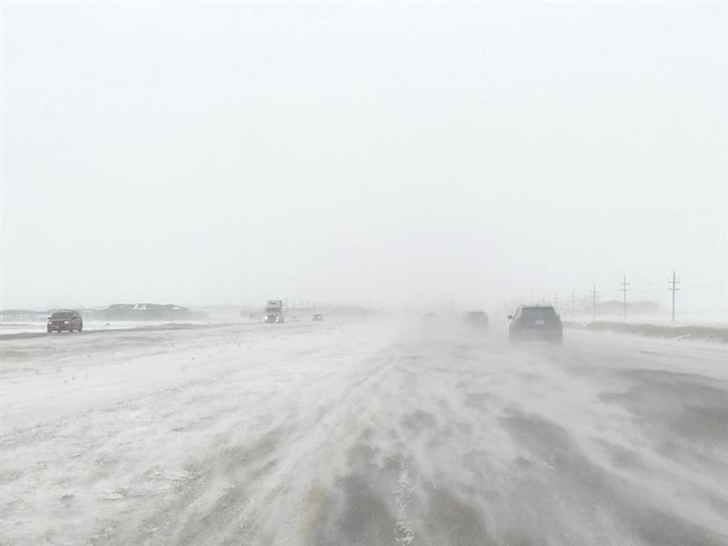
The original forecast had a similar system as what was seen on Wednesday morning, with visibility dropping and hampering movement on highways.
Now that's expected to hit later in the day, says Environment Canada Meteorologist Dan Fulton.
"It's delayed a bit. The cold front that was gonna bring in the gusty winds and blowing snow is moving a little bit slower, so actually we're not looking for a bad day in the Estevan area today. Still fairly windy, we're looking at winds of Northwest 40 gusting to 60, but temperatures will hover pretty much around the -3 mark all day and that just won't be cold enough to really get the snow kick up."
"By late this afternoon, there's a chance of flurries through the day. There's quite a bit of cloud out there along with some clear breaks also, and by late this afternoon we got some light snow coming in. Then maybe tonight we'll see some blowing snow, but it doesn't look like it will be too bad for the Estevan area."
After a last hit of precipitation and some chillier weather over the weekend, Fulton expects next week to feel much better than normal.
"It's not bad actually. It looks like a pretty nice day on Saturday, with the winds starting off fairly strong but then gradually becoming light and a bit colder. High of -10 and then looking at Sunday, sunny and -6.
"Then getting into next week, don't really see much in the way of precipitation and temperatures look like highs kind of around the -5 mark or so. the deep freeze is gone for now and kind of a milder spread ahead."