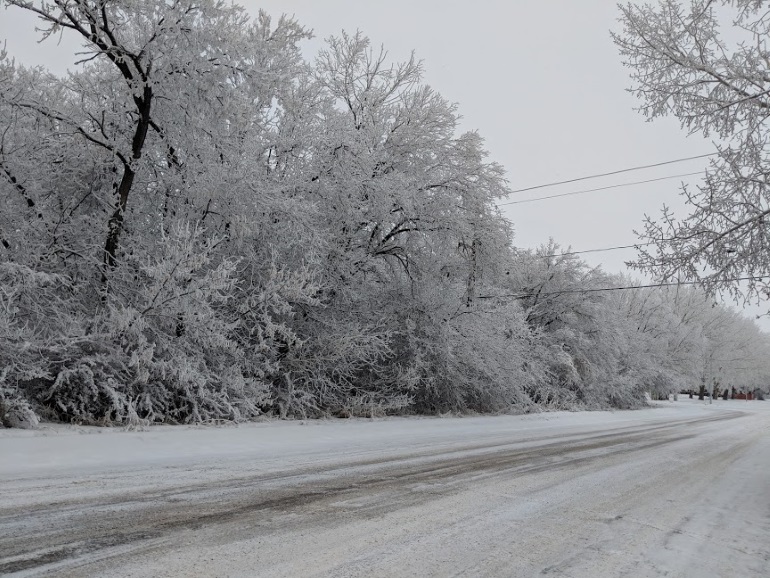
The southeast is seeing a week of frosty temperatures as the emergency cold warning will remain in effect for a while.
Following last week's harsh system which brought snow and wind, this week we'll instead see temperature take the main stage.
Environment Canada Meteorologist Stephen Berg talks about the cold and what we'll see over the week.
"Looks to be continuing pretty much all week into the weekend. Looks like after the weekend it'll start to alleviate, but looks like the overnight lows into the minus 30s for much of the week. Might be a slight improvement on Thursday night into Friday, but definitely looks like it'll be quite chilly through much of the week."
Berg says the extreme cold warning will last for a few days and may disappear later in the week.
"Looks like it'll be on for at least a few days this coming week, but towards the end of the week that'll get less and less likely, looking to be like Friday night into Saturday night would be when the warnings are probably less likely, but certainly for the next three or four nights it could be in place."
One positive with the system from Berg is a lack of any solid precipitation coming down over the week.
"Just a bit of light snow, it doesn't look like it'll be more than a centimetre or two. Doesn't look like there's going to be any appreciable snowfall until the weekend or later on. The temperatures, this cold, there's not too much capacity for moisture, so that makes a fair bit of sense from a meteorological perspective. But yeah, it's pretty dry, pretty cold, and just maintaining that and then with the Arctic high, it's just some low clouds here and there and that's about it."
Berg reminds people to be careful as the temperature is dropping so low.