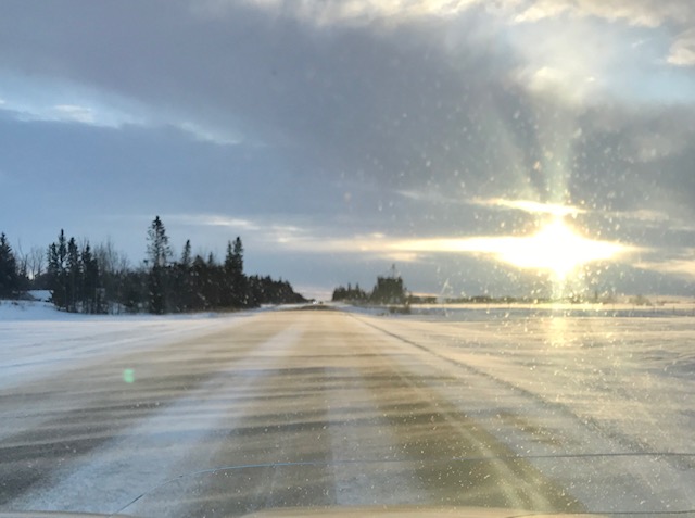
A weather statement released from Environment Canada Tuesday afternoon, is warning residents of Central Alberta; from Lacombe County to Red Deer County to brace for the coming weather this week.
Beginning Wednesday night until Friday, expect a mix of weather that will bring winter traveling conditions with it.
“We are going to see a mix of precipitation starting Wednesday night with the potential for some scattered showers, some light snow, and likely some brief freezing rain,” said Justin Shelley with Environment Canada. “We'll see a transition into snowfall during the day on Thursday, which will persist throughout the day, ending some time Friday morning to afternoon before the system fully moves out of the region.”
The expected snowfall is from 5 – 20 cm with the possibility of higher accumulations of 25cm near the Mountains and over West-Central Alberta.
The changing weather patterns will also bring colder temperatures and winds that will make it feel cooler, Shelley said we are to expect daytime highs of only a degree or two above zero with overnight lows from –5 to –10 degrees, which is about 5 degrees lower than the average for this time of year, but he does have hopes for the weekend.
“Conditions will improve starting on Friday, but we'll still likely be in a regime where we could see some scattered flurries off and on throughout the weekend,” he said.
So keep the window scarpers out and the winter mitts ready as we hit hopefully the last of winter for the region, and with winter traveling conditions back check your highway road reports before you travel to keep safe during this blast.
For the latest weather updates, click here.