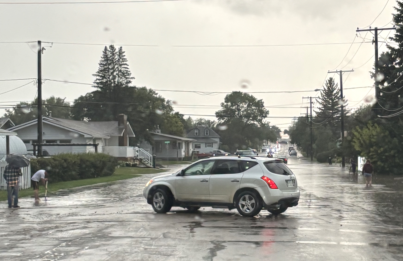
A thunderstorm that struck Swift Current on Saturday night left its mark, flooding parts of the city and knocking out power in some areas.
According to Environment and Climate Change Canada data, Swift Current recorded 41 millimetres or 1.6 inches of precipitation throughout the day. The majority of it was recorded in one hour from 8 to 9 p.m. at 23.1 millimetres, with the storm producing 26.5 millimetres by midnight. The downpour prompted the City of Swift Current to issue a road safety advisory at 8:16 p.m.

Earlier in the day, another thunderstorm poured 14.1 millimetres between 1 to 5 a.m. in Swift Current.
The abnormal rainfall event was localized according to Environment Canada weather station data. Assiniboia received the second most precipitation in the southwest with 23.7 millimetres, ahead of Eastend's 16.3 millimetres and Outlook's 15.8 millimetres.
Lucky Lake's weather station was the only other local one to collect double digits with 11.2 millimetres.
Cypress Hills received 6 millimetres and Val Marie collected 1.7 millimetres.

Videos courtesy of Jayson Wentland and Mike Saretsky.