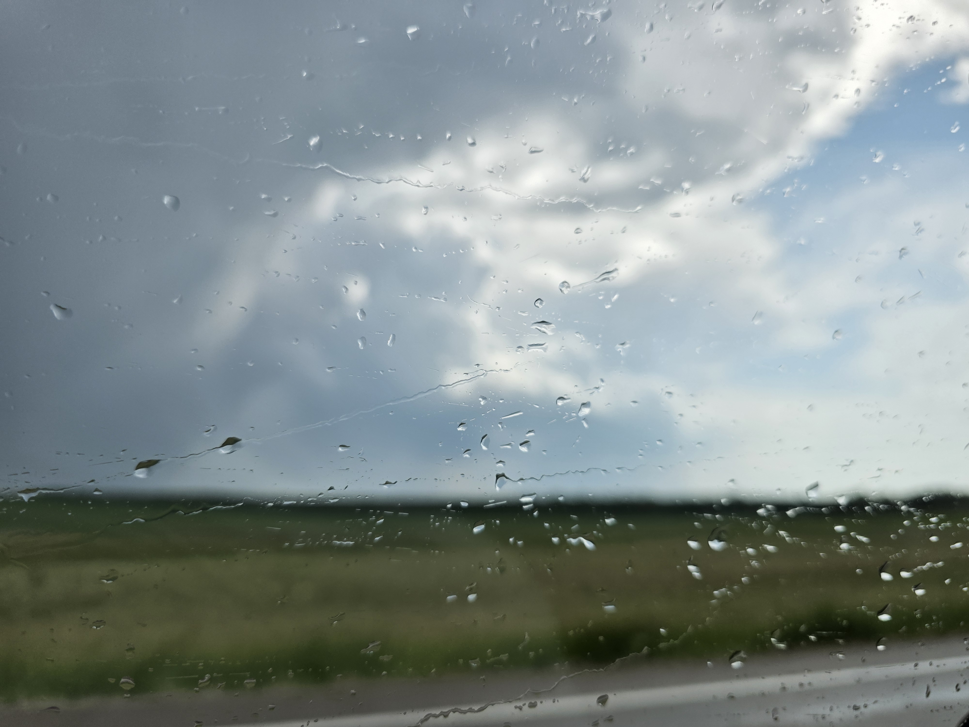
The Moose Jaw area could see significant rainfall this afternoon through Wednesday morning.
Environment and Climate Change Canada is tracking a slow-moving upper low that could bring a widespread 10 to 20 millimetres of rain.
“I wouldn’t be surprised if someone came out of this with, say, three inches of rain, or 75 millimetres locally. But it does look like a widespread 10 to 20 millimetres — perhaps even more — so it looks like there’s still a fair bit of rain to come,” said meteorologist Crawford Luke.
Because the system is slow moving, Luke said it’s allowing showers and thunderstorms to linger and rain heavily on the same locations for longer periods.
He added that areas southwest of Moose Jaw have already seen significant rainfall overnight and into the morning.
“It’s a bit southwest of Moose Jaw, but there are a couple of places — Swift Current, for example — that saw 33 millimetres of rain just last night into this morning. A couple of other stations in that area are in the 25 to 40 millimetre range already,” said Luke.
He added that much of southwestern Saskatchewan will be affected by the system, which is expected to stretch all the way to the Moose Jaw–Regina region.
While Moose Jaw dodged major rainfall over the weekend, areas west of the city — such as Caronport — were hit hard.
According to a report on the Saskatchewan Severe Weather Tracker Facebook page, there was localized flooding around 5:45 p.m. Saturday in Caronport due to a torrential downpour.
Luke said that, while exact totals were not available, radar estimates put the rainfall in the Caronport area between 40 and 60 millimetres.
Rainfall dropped off significantly heading east toward Moose Jaw, which received only about six millimetres over the weekend.