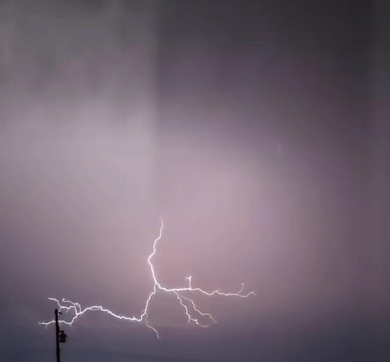
It was a light show across the prairie sky last night, and the Humboldt area was near the centre of it all.
A couple of days of warm and humid weather came to a head with plenty of activity in the sky.
Environment Canada Meteorologist Crawford Luke says the combination of a low pressure from northern Saskatchewan and another one from Montana and North Dakota created the severe thunderstorm event last night.
Storms began to form near the Alberta border with supercell, went over North Battleford and moved down the Yellowhead Highway north of Saskatoon.
The worst of the storm was north of Humboldt in between the Middle Lake and Lake Lenore areas.
Luke noted they’re investigating a possible tornado near Cudworth that happened close to 10:00 pm. He said there was a storm chaser investigating it. With the dark sky and a grainy, Luke said it’s too early to tell if it was indeed a tornado that was present.
Also last night, there was a reported sighting of a funnel cloud southwest of Kindersley.
There were plenty of reports of hail last night. Luke says the largest sized report of hail was near Radisson, where tennis ball sized hail was found.
The highest wind gusts occurred in North Battleford. Luke says one weather station reported 113 km/h, while another one reported 129 km/h.
Even with the active sky, according to Luke, there wasn’t much rainfall in the Humboldt area, with some rain gauges showing 4 mm. He added around the Melfort and Tisdale area, there was 7mm.
Like Humboldt, missed most of the rainfall from last night’s storm, but Luke said that as close of Warman experienced more precipitation than the Bridge City.
A cold front will be moving through the area over the next couple of days, which will create some significant winds and possibly showers on Friday.
Sunshine should move in for the rest of the weekend, with some cooler temperatures than were present earlier in the week.