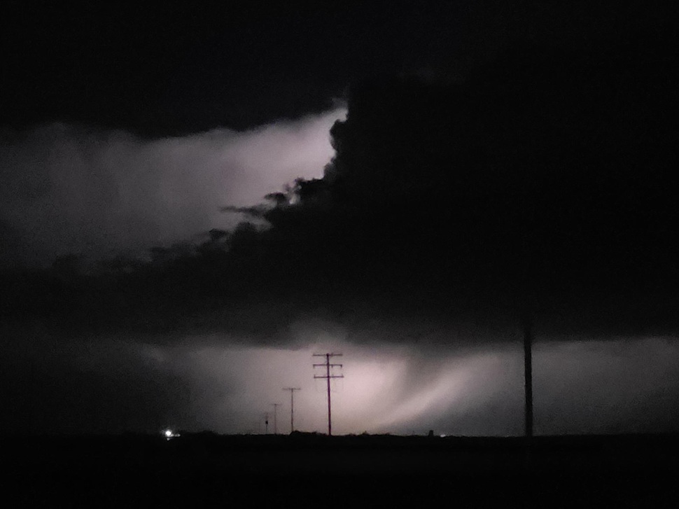
Severe thunderstorms swept through Saskatchewan Wednesday evening and overnight, leaving behind reports of large hail, strong winds, and possible tornadoes, Environment Canada said Thursday.
Related Stories:
- Heavy hail, high winds: Environment Canada recaps Wednesday storm
- Supercell storm carves 400-kilometre path of destruction across Alberta and Saskatchewan
According to the federal weather agency, multiple thunderstorms moved across the region between the evening of Aug. 20 and the early hours of Aug. 21, producing hail ranging from loonie to baseball size and gusts exceeding 120 km/h in some areas.
The hardest-hit communities included Langham, where hail measured 64 to 73 millimetres — roughly tennis ball to baseball size — and Radisson, which recorded tennis ball-sized hail. North Battleford saw hen egg-sized hail at 51 millimetres, while Mendham reported 44 to 61 millimetres of golf ball to tennis ball-sized hail. Other affected areas included Blumenthal, Sceptre, Hague, and regions south of Langham.
Peak wind gusts were recorded at 129 km/h in North Battleford, 116 km/h in Kindersley, 111 km/h near Leader, and 104 km/h at Last Mountain. Winds of 94 km/h were reported at Maple Creek and 80 km/h in Nipawin.
Environment Canada also noted reports of funnel clouds and possible tornadoes near Martensville and Middle Lake, which are under investigation.
Meteorologists are seeking additional reports, photographs, and videos from residents to assist with the ongoing assessment of storm damage. Anyone with information is encouraged to contact Environment Canada at 1-800-239-0484, email storm@ec.gc.ca, or post on social media using #skstorm.
The agency cautioned that the information in its summary is preliminary and may not reflect the full extent of the storm’s impact.