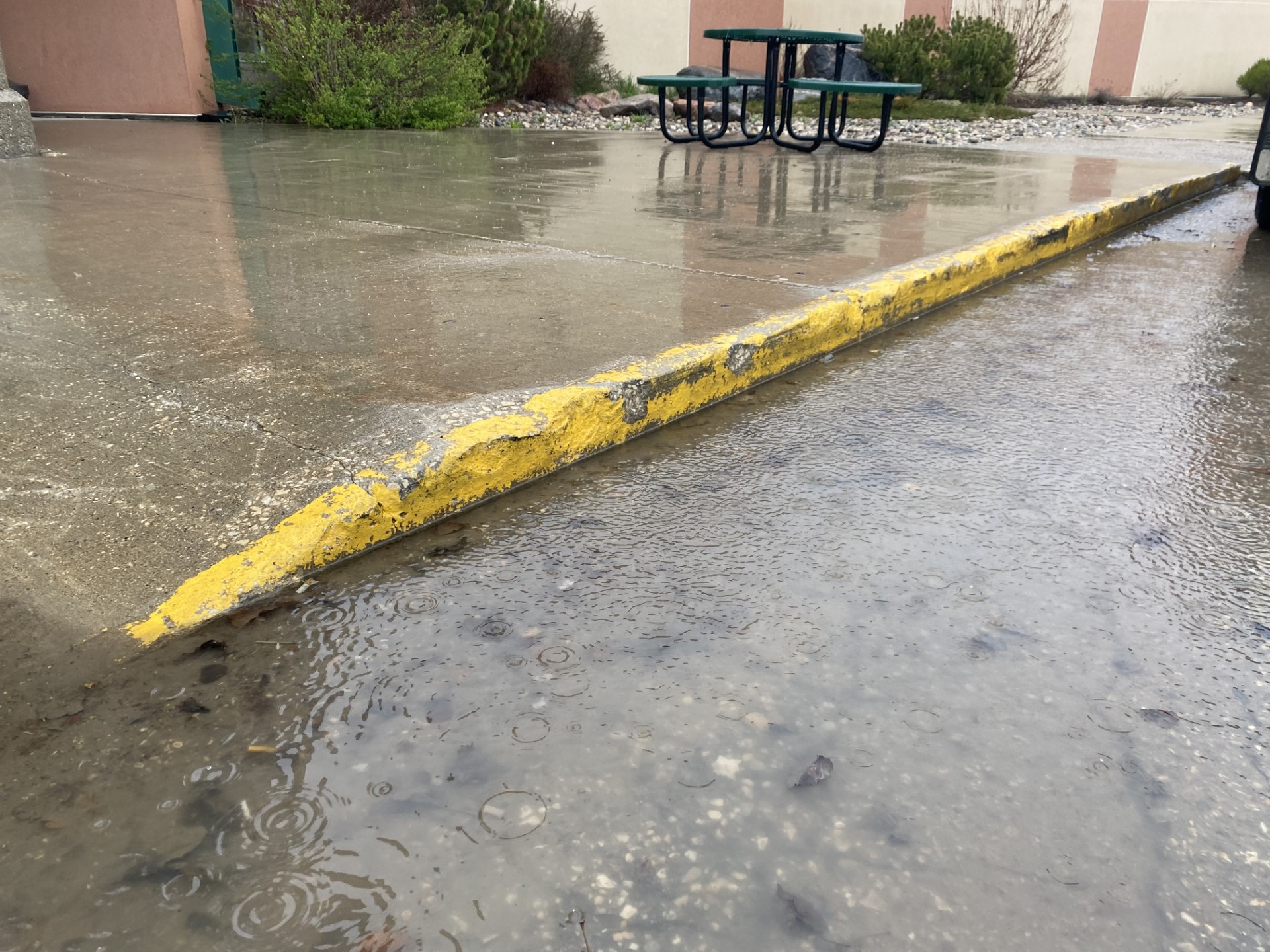
The Estevan area received a deluge over the weekend as moisture fell beginning Friday evening and was ever-present over the next few days. The system came with rainfall warnings that covered multiple areas, eventually depositing high amounts of rain overhead.
Christy Climenhaga, a scientist with Environment and Climate Change Canada, details the start of that storm, with the intense rainfall that came in.
"We had some very potent slow-moving thunderstorms that moved through the southeast on Friday night, bringing quite a bit of rainfall. In the Estevan area, you recorded 33.2 millimetres just on the 12th, so just on Friday, but very, very heavy amounts locally, higher amounts through the region."
Some areas, like Fort Qu'Appelle, even saw around three to four inches of rain within an hour. All in all, the weekend added up to some serious rainfall for the area.
"It didn't end, more rain through the day on Saturday, bringing your totals for the weekend up pretty high in the Estevan area. It looks like over the weekend, you saw about 70.7 in Estevan."
Over 70 millimetres of rain isn't exactly typical in September, with Climenhaga saying that we've even surpassed our monthly average.
"What you're looking at for normals for September is about 45.5 millimetres. So you already surpassed that in just a couple of days. That can happen with precipitation; you can see a storm that really drops a month's worth of rain in one day, it does mean it's a significant rainfall for the region."
Along with the rain was thunder roaring across the region, a less common sight compared to the summer storms that popped up over the previous months.
Climenhaga attributes that to local humidity being high even as leaves are starting to turn brown.
"What we're seeing right now is that the one thing that is uncommon is that we have a lot of moisture. What we call our dew points, the measure of moisture in the air, is really high. It's kind of more in line with what you would see through the summer months. So these storms have a lot of fuel to drop a lot of that rainfall."
More storms are expected to hit over the start of the week, before the middle of the week turns into more of an unsettled, cloudy system.