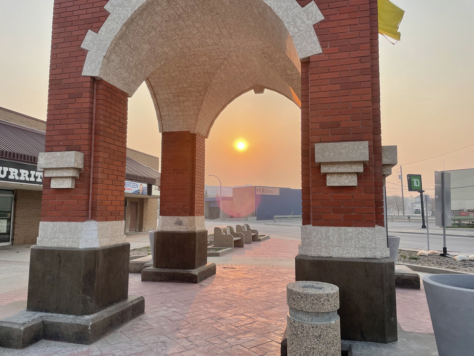
A meteorologist with Environment Canada says it will probably be smoky all day in southern Manitoba.
Natalie Hasell says the smoke is the result of wildland fires to the north. She notes most of the smoke is coming from the Ebb and Flow First Nation fire. However, there are other fires including ones in the Parkland region and Interlake.
She notes the smoke started to settle over the region when the winds shifted to the northwest at around 4 o'clock this morning.
"As long as this flow at the surface continues, we are right in the stream of where the smoke is going to go," she explains. "We're not really expecting a wind shift until sometime tomorrow. So, I think we're going to be in the smoke all day today."
Meanwhile, Environment Canada is calling for temperatures this weekend that are much warmer than normal. In fact the forecast is calling for record-breaking temperatures. Saturday's high in Steinbach is currently 27 degrees, followed by 35 degrees on both Sunday and Monday. The record high for May 11 (Sunday) is 30.6 degrees set in 1977, while the all-time high for May 12 (Monday) is 32.8 degrees set in 1958.
However, Hasell is not overly confident that temperatures in the mid-30s will happen this weekend.
"I think that might be a touch exaggerated," she says. "I'm not saying that 33 or 35 isn't possible, they certainly are possible, but I'm not sure we're going to quite reach the 35. The models have been in disagreement. They certainly all agree that some heat is coming."
Hasell says this May heat wave is the result of an upper ridge settling itself over western Canada. She notes this ridge is defined by hot air in the southern United States. Hasell adds it is slowly moving from B.C. and towards southern Manitoba. She notes there will be a clear distinction between northern and southern Manitoba this weekend and the ridge will sit over our area for a couple of days.
"Compared actually to some summer events, it's actually moving quite quickly," says Hasell. "Sometimes we have situations where the ridges just stay over us for an extended period of time. So luckily that's not what we're dealing with this time."
And even though this may feel like a mid-summer heat wave, as Sunday's low is 23 degrees, Hasell says one big difference this weekend will be the lack of humidity.
"It won't be as muggy as it could be in the summer, which is good," she says. "It actually means that the temperature that we're forecasting is what you will actually feel as opposed to what would be more significant or harder to deal with at least if it were humid."
For those looking for relief in the form of rain, Hasell says it appears like that might happen next week. She explains that once this upper ridge has moved off, it leaves room for a more active precipitation weather system to come through. Hasell says there could be a low-pressure system in the form of a Colorado Low, hitting us on Wednesday night or Thursday. She notes though the models are not all in agreement as to where it originates and the exact path, it seems that most agree that southeastern Manitoba will be hit.
Hasell reminds the public of the health risks associated with smoky conditions and hot weather. She says this might not be the best time to fire up your air conditioning as it will bring that poor air quality into your house. Hasell suggests finding ways to cool off such as drinking cold water, taking a cold shower, or placing a bowl of ice cubes in front of a fan. Other options might include hitting a shopping centre or theatre where there is air conditioning.
If you spend time outdoors, she encourages staying hydrated, moisturizing, and wearing sun protection. She also suggests paying close attention to those more susceptible like older people, young children, pregnant women, and those suffering from chronic illness. And for those who work or exercise outdoors, she says it may be worth a second thought.