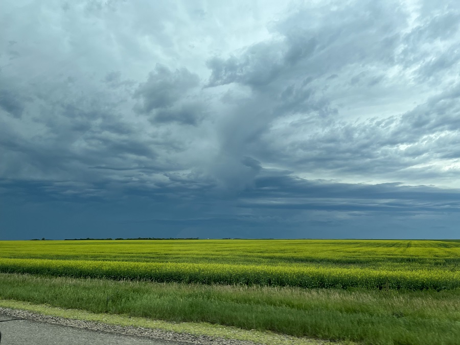
August got off to a wet start after intense rain over the weekend, after what was a relatively dry July around West Central.
It's been very variable, according to Environment Canada Meteorologist Christy Climenhaga, as over the last 72 hours Outlook saw 17.9 mm, nearby Elbow a little higher a 21.3 mm, while Kindersley and area received anywhere in and around the 15 mm mark.
On the high end of that spectrum, we did see reports of local flooding, according to Climenhaga.
"It's just so variable in terms of how much rain we have actually seen... (On Sunday) we saw 45 millimetres of rain in 40 minutes in Brock," said Climenhaga, saying the amount of rain received really boils down to location. "Quite a bit of rain... It was very quick."
Further south, the Swift Current area was even more underwater.
"Reports of close to 170 mm of rain over 24 hours, between August 2 and 3." said Climenhaga as slow moving storms helped create the load of rain.
Hail stayed out of the picture for the most part, leaving the downpour of rain as the main story. Climenhaga noted a funnel cloud around Maple Creek as other intense weather through the weekend. There was another one by Plenty on Saturday (video below), and then just Monday night at around 6:30 a tornado warning went out for the RM of Miry Creek.
It's sunshine and rainbows in the forecast this week as the cloudy conditions are expected to continue around West Central.
More severe thunderstorm activity could hit Tuesday, but Climenhaga was happy to share the systems are moving east.
"We saw those severe storms in the West Central area, but seeing more of that risk into eastern Saskatchewan, with again heavy rainfall and large hail as the main risks."
We won't be out of the woods until after midnight, a mainly sunny Wednesday expected around Kindersley with areas north and south likely not far behind. Showers could start to enter the picture again Wednesday evening into Thursday, with that trend expected through the weekend.
Check the current forecast HERE.