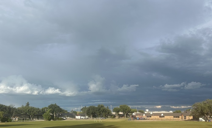
The month of July felt like summer despite certainly cooling down at times around the province.
Environment Canada meteorologist Christy Climenhaga used a common phrase to describe it.
"It was kind of a mixed bag in the month," began Climenhaga. "We did see a very cool end to the month in many areas, whereas we had a very hot start to (July)."
Climenhaga referenced a cool stretch from July 13 onwards that turned what would have been a blazing summer month into typical mid-year heat.
"Even though we did have some bigger swings, overall, when it's said and done the average for the entire province looks closer to what you would call normal for temperatures."
The lack of heat and extra cloud cover didn't always make for extra moisture, however. Just like the temperatures around the province the precipitation was fairly inconsistent too.
"It was a little bit different, quite a bit drier. For the North Battleford region, it was very dry, the third driest on record," said Climenhaga, adding that around Prince Albert witnessed their second driest July on record.
The northern portion of West Central is likely mirroring the situation being seen around North Battleford, though most of the region stayed about normal according to Climenhaga.
"It was a little different towards the southwest. Kindersley (area) was closer to normal in terms of precipitation because there was that wetter anomaly for the southwest, where it was very dry in north central and central Saskatchewan."
All-in-all it was still a strong summer month, and anyone wishing for more rain got it with a dump across the August long weekend. More rain is possible this weekend, before a possible return to hot conditions around the region next week.
