A blanket of fog settled in across parts of Saskatchewan Monday morning, following a weekend of heavy rain and thunderstorms.
In West Central Saskatchewan, forecasters are monitoring conditions that could bring severe weather later in the day. A low-pressure system developing near Edmonton is expected to draw moisture into the region, creating unstable conditions by late afternoon.
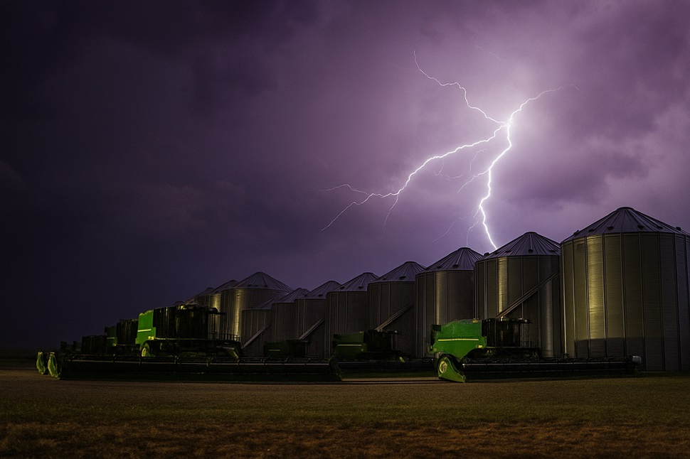
Meteorologists say the setup could fuel thunderstorms capable of producing strong winds, large hail and, in isolated cases, a tornado. Energy levels in the atmosphere are forecast to reach values supportive of severe convection, while shifting winds at different altitudes could allow storms to rotate.
Meanwhile, residents further east in southeastern Saskatchewan and southwestern Manitoba face a separate risk. With high moisture levels and weak upper winds, storms forming in those areas could bring heavy rain and large hail as they slowly drift eastward.
“Both regions carry the potential for severe weather today, but much depends on whether the weak surface troughs are strong enough to trigger storm development,” Environment Canada noted.

Looking ahead, forecasters warn that southern Saskatchewan could see a shift from storm threats to extreme heat. An intensifying ridge of high pressure mid-week may bring temperatures to levels that meet heat warning criteria starting Tuesday.