With files from David Zammit
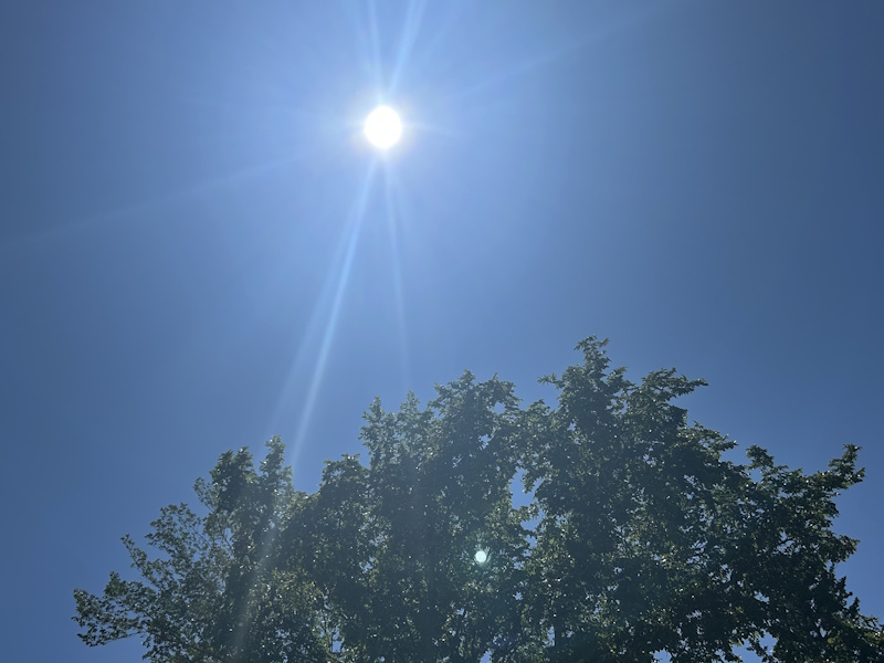
The West Central region is being set ablaze with high temperatures to start the week.
Joining most of the region at a high of 33, Kyle is the only place currently under a heat warning, though the hot and humid conditions are very apparent around the entire region. Things are a little different, but still warm to the north around Unity as we can expect temperatures to hover right around the 30-degree mark.
Anticipated between now and late Wednesday night, the higher temperatures are concentrated south by the river. According to the Environment Canada weather warning, Wednesday's high is expected between 32 and 34 degrees, dropping to a nighttime low of 16, before a return to temperatures of 32-34 on Thursday.
As if that isn't hot enough, a ridge of high pressure camped over the region the last few days could raise humidex levels between 38-40.
"There's a decent amount of humidity in the area, so the humidex will make it feel in the mid-to-high 30s in addition to the temperatures being quite hot," said Environment Canada meteorologist Crawford Luke.
The heavy clouds could also spark storm conditions later at night according to Luke. He expects any storm activity to be isolated in nature, though most of the region is reading an increasing chance of rain tonight into tomorrow.
"In terms of severe weather... that should be (more of a southeastern problem)."
Related Stories:
- Fog, storms and risk of tornado loom over West Central
- "Always in harvest mode": Crop specialist talks when to break out the combine
Anyone working outside today and tomorrow will really want to stay in tune with how they are feeling.
Heat stroke symptoms can include headache, nausea, dizziness, thirst, dark urine and intense fatigue, and can be combatted by drinking water and withdrawing from the outdoors to a cooler retreat. Other heat stroke symptoms like red and hot skin, dizziness, nausea, confusion and change in consciousness can be directed to 911.