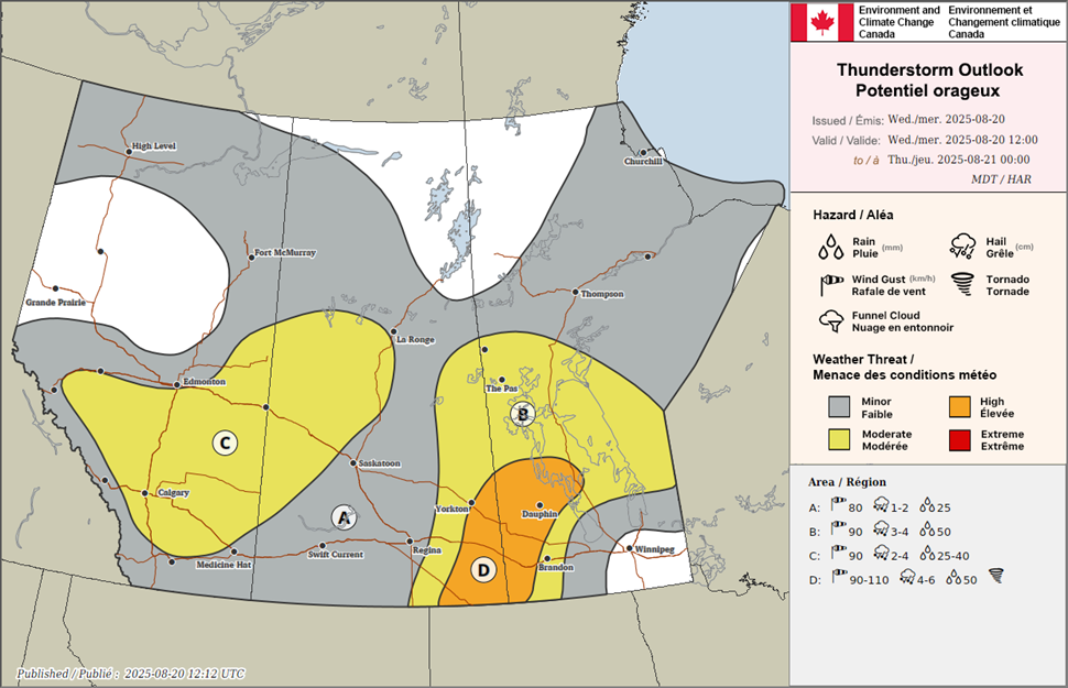
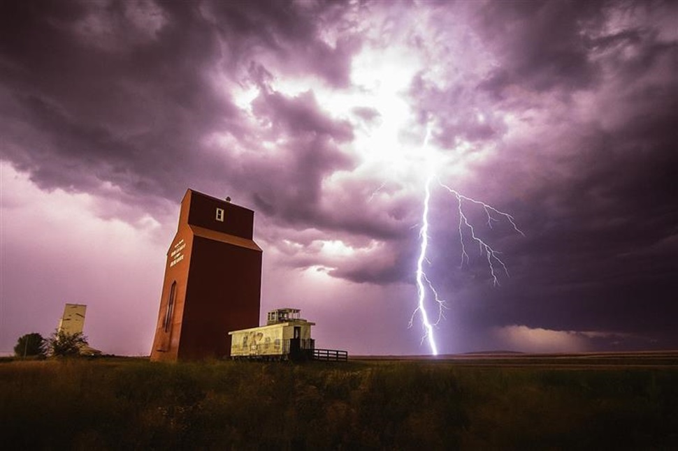
A mix of storm ingredients could bring severe thunderstorms to parts of Saskatchewan later today, with the greatest risk stretching along the Saskatchewan-Manitoba border.
Environment Canada says the most concerning area is from Yorkton south to Moosomin, extending east into Manitoba. Forecasters say storms in this region could bring very large hail, damaging winds and, in rare cases, even a tornado during the evening hours.
While morning thunderstorms are weakening, cloud cover and lingering storm activity may delay or limit new storm development until later in the day. A low-pressure system moving in from Montana is expected to help trigger storms by evening.

Another area of concern is in western Saskatchewan, where storms developing in Alberta may track east later tonight. These storms also carry the potential for large hail and strong winds.
Heat warnings across southern Saskatchewan are expected to ease as cooler air pushes in behind the system. Looking further ahead, heavy rain may affect parts of northern Saskatchewan later this week, though exact amounts and locations remain uncertain.
Residents are advised to monitor forecasts and alerts through the day as conditions develop.
