Fall is officially in swing in the southeast, and the first week may bring about a bit of frost onto Saskatchewan's grass and fields. The forecast is showing a drastic drop in temperatures this week, below the seasonal average and dipping very close to freezing overnight.
Scientist with Environment and Climate Change Canada, Christy Climenhaga, says that we're seeing quite the sudden shift into a chill.
"Starting to see a shift into more fall-like weather after a very hot end to August, and even the first day of September, yesterday in the Estevan area, got into the 30-32 degrees. So it's going to start to feel a little bit cooler, a little closer to seasonal, which is about a 21 or so degree high, even cooler than seasonal over the next couple of days."
Summer isn't totally gone yet, as we're still feeling a chance of thunderstorms heading into the rest of the day.
"Expecting maybe some weak thundershowers tonight, and then a clearer day tomorrow, but cooler, you'll really feel, especially in the early morning, those cooler temperatures, maybe into the mid-teens in the afternoon, and then another round of some rainy weather on Thursday with a low-pressure system moving through."
Unlike the summer, with its smaller, more intense thunderstorms, the coming rains are more likely to be wider and softer, with the lowered temperatures of fall contributing less energy to those storms.
"Looks like, at this point, for your system midweek this week, it looks like this low-pressure system will make its way through coming in from the north, and coming kind of from the northwest through the province. Looks like the heavier stuff will stay maybe to the north of you at this point," said Climenhaga, "But more showery weather is expected through Wednesday, even into a little bit on your Thursday."
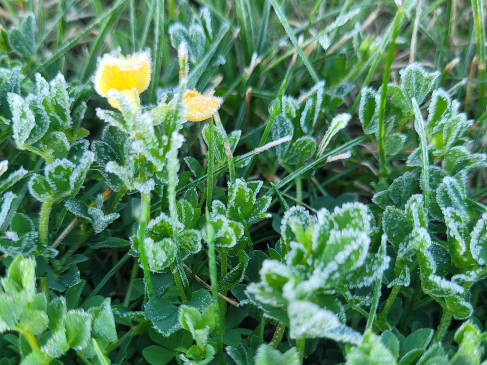
Another feature of the upcoming week is some very cool nights, which may progress into frosty conditions, according to Climenhaga.
"Tonight, chilly conditions, temperatures around that two-degree mark, so there is the risk of frost tonight. Wednesday night, Thursday night, you might see enough cloud cover just to keep us insulated enough to keep us above that value, but even Thursday night, Friday night, much cooler conditions before that heat starts to build back in, so there is the risk of some frost into our morning hours."
Climenhaga says conditions will recover next week, with above-seasonal warmth coming in starting Saturday.