Source: https://www.weather-forecast.com/static_maps/Saskatchewan/precipitation/3
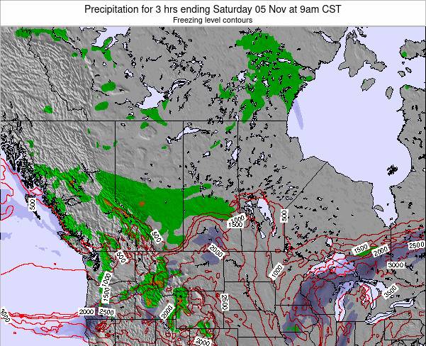
An Alberta clipper is expected to impact parts of central Saskatchewan bringing a mix of precipitation beginning Saturday morning.
Southeastern and southern Saskatchewan will see warmer temperatures with showery activity during the day Saturday, followed by a period of snow and intense winds with the passage of a cold front Saturday evening.
Further north, areas along the northern Grainbelt spanning from Meadow Lake to Pelican Narrows, then south to Hudson Bay will experience mostly snow. There is also the risk of freezing rain along and north of the Yellowhead corridor with this system. Intense winds will also accompany the system causing a reduction in visibility and making travel hazardous on Saturday and Sunday. Snowfall totals are still unclear at this time, but snowfall amounts could range from 10 to 20 cm by Saturday night in the affected areas. Snowfall warnings may be issued in the next day or so as the system develops.
Snowfall and fierce winds should begin to ease Sunday night. Looking ahead this system is quickly followed by a second system early next week which has the potential to bring significant snowfall to parts of Saskatchewan yet again.
