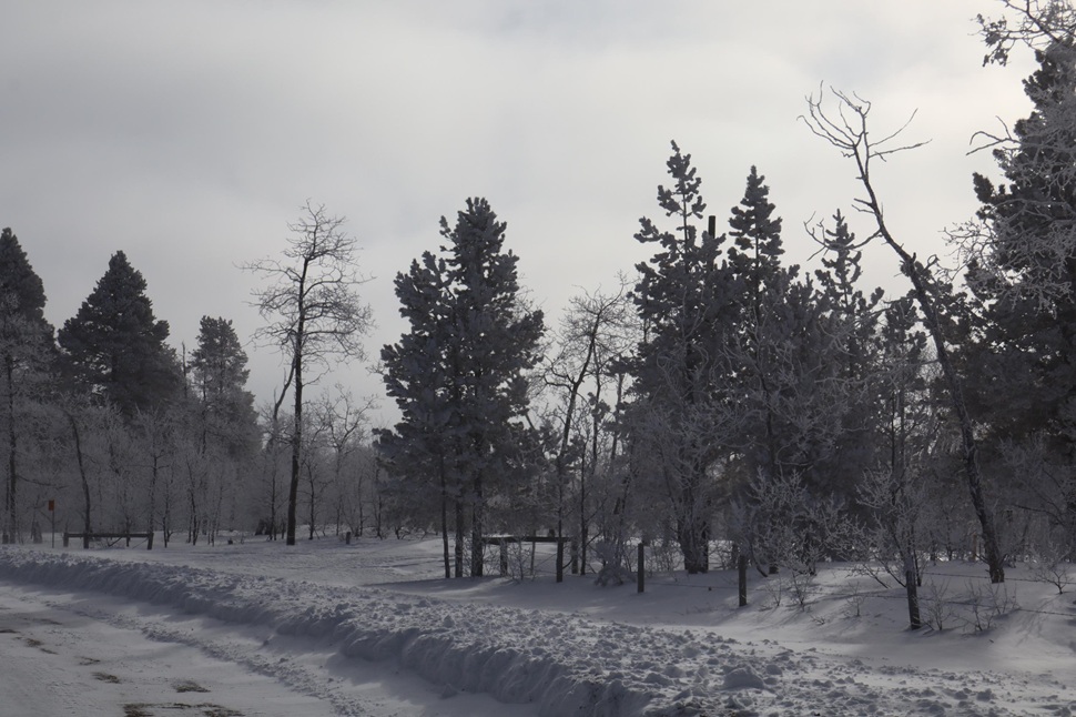
The southeast is in for another hit of cold weather, which settled into the area this morning.
Environment Canada released an extreme cold warning on Sunday ahead of the cold, hoping to raise awareness of the system.
Meteorologist Stephen Berg says that the prairies are seeing quite the cold over the next few days.
"It's gonna be cold again tonight, maybe marginally less so, but still wind chills are expected to be in the minus 38 range, instead of the -41 that's currently ongoing. Looks like by Wednesday or Tuesday night, things should improve. Well away from the extreme cold criteria, but still below seasonal values from Wednesday till Sunday. The high's in the kind of -18 to -14 range with overnight lows between -21 and -27 or so. So it'll be still a bit on the cold side, but not nearly so much as this morning and tonight."
Berg says there will be some snowfall over that cold period, with a decent amount hitting at the end of the system.
"Looking like possibly as much as about 5 to 10 centimetres by Wednesday evening, largely on Wednesday. Maybe a couple of centimetres before that, but yeah, 5 to 10 centimetres or so by Wednesday or so, and then that tapers off."
The southeast should at least miss out on any serious blowing snow conditions through that system according to Berg.
"Might be a little bit of blowing snow kind of Wednesday evening into the overnight hours after the snow passes. But at the moment wind gusts looked to be anywhere from 40 to about 60 kilometers per hour in that range Wednesday night, kind of Thursday evening. There might be a bit of blowing snow around at that point, but it's hard to see at the moment."
Berg reminds everyone to bundle up and stay warm through the cold weather.